Chest opened
+${chestReward.xp} XP
Explorer
NOUVEAU ×${chestReward.collectible.quantity}
tapez pour fermer

See the monuments around you in AR Open chests in the app

Around Us is built for your phone — point your camera at the streets and discover the monuments and places around you in augmented reality. Around Us is built for your phone — chests unlock when you walk, explore and capture nearby places.

•

Enable Location

We need your location to show you interesting places around you

Discover nearby places

Find interesting locations and hidden gems around you

Precise directions

Get accurate directions and distances to places

Your location is never shared with other users. It's only used when you tap the location button.

Stave River

Log in to your account

Start exploring — it's free

Trusted by 93,846 travelers worldwide

Continue with Google
Continue with Apple
or

We will send you a code to connect

By continuing, you accept our Terms and Conditions and our Privacy Policy

Check your inbox

We've sent a pincode in your inbox. Please enter the code below.

Stave River

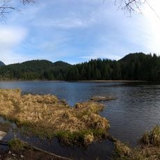
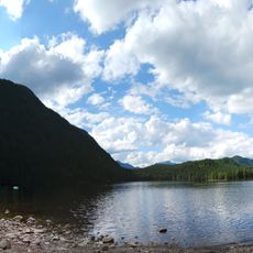
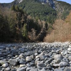
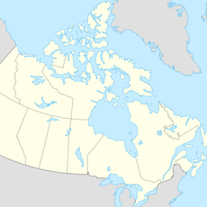
Stave River, Brook in Fraser Valley Regional District, Canada

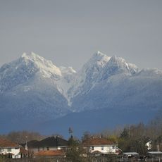
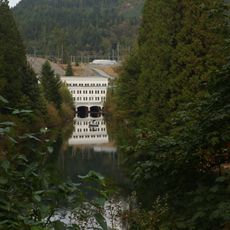
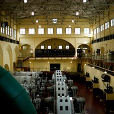
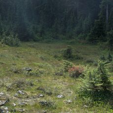
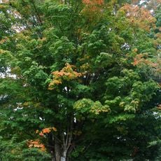
The Stave River is a flowing waterway that winds through dense forests in the Fraser Valley, providing habitat for numerous fish species including salmon. The system has been shaped by multiple dams built since 1912, which altered its natural flow patterns.

Employees of the Hudson's Bay Company named the river in 1828 after recognizing the surrounding forests as an excellent source for barrel staves. This early naming reflected the economic importance the area held for European traders.

The river's name comes from Hudson's Bay Company workers at Fort Langley, who around 1828 favoured the banks' forests for making barrel staves for exported fish. Today the lower Stave is popular with sport fishermen, especially for steelhead, and Stave and Hayward Lakes hold kokanee and trout.

The only free-flowing stretch below the dams is the 3 km between Ruskin Dam and the Fraser, where the river is semi-tidal and backs up during the Fraser's spring freshet. Highway 7 (Lougheed Highway) crosses the river 8 km west of Mission, just above the mouth. North of Stave Lake there is no road; the upper valley is reached only by boat or air charter to a small bush strip.

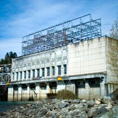
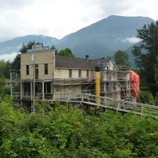
The cedar shake mill beside Stave Falls dam was among the highest-producing in the world; its ruins still stand on the river's western shore. Most mills along the Stave made shakes, and the north end of Stave Lake has no road, reachable only by boat or a small bush airstrip.

The community of curious travelers

AroundUs brings together thousands of curated places, local tips, and hidden gems, enriched daily by 93,846 contributors worldwide.

Start exploring
GPS coordinates
49.55100,-122.31938
Latest update
November 4, 2026 01:36
Reviews
Share your experience

No review yet

Discussions
Start a discussion...

No discussion yet

« Stave River - Brook in Fraser Valley Regional District, Canada » is provided by Around Us (aroundus.com). Images and texts are derived from Wikimedia project under a Creative Commons license. You are allowed to copy, distribute, and modify copies of this page, under the conditions set by the license, as long as this note is clearly visible.

Discover hidden gems everywhere you go!

From secret cafés to breathtaking viewpoints, skip the crowded tourist spots and find places that match your style. Our app makes it easy with voice search, smart filtering, route optimization, and insider tips from travelers worldwide. Download now for the complete mobile experience.
Around Us App Screenshot
❝

A unique approach to discovering new places❞

— Le Figaro

❝

All the places worth exploring❞

— France Info

❝

A tailor-made excursion in just a few clicks❞

— 20 Minutes

Around Us
Travel Guide & Maps
Download

Send to your phone

QR Code
1

Open the camera app on your mobile.

2

Point at the QR code with your camera. A notification will appear.

3

Tap the notification to open the link.