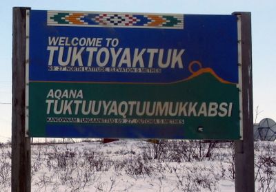
Tuktoyaktuk, Inuvialuit hamlet in Northwest Territories, Canada
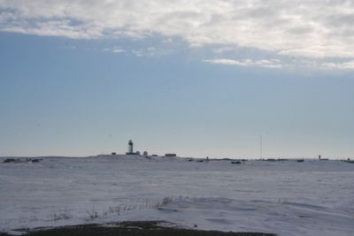
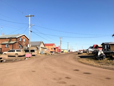
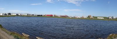
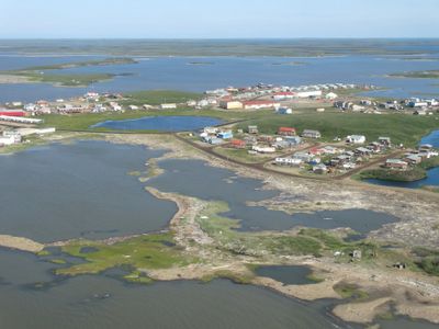
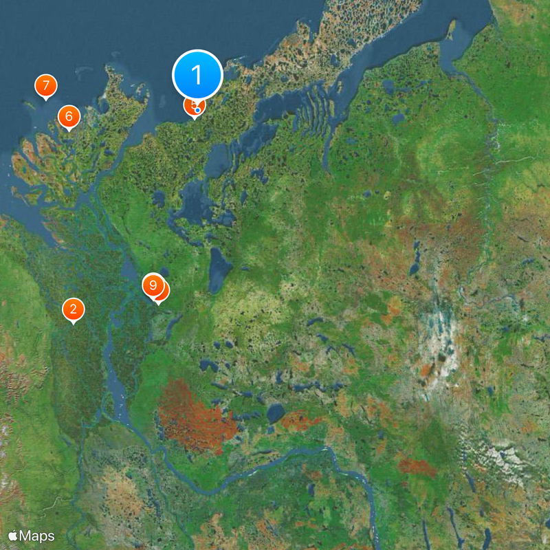
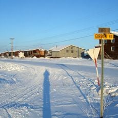
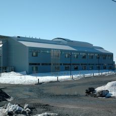
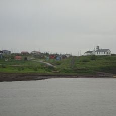
Tuktoyaktuk is an Inuvialuit settlement in the Northwest Territories of Canada, sitting on the shore of the Arctic Ocean at a latitude near 69.5°N. The community consists of low wooden houses on stilts, administrative buildings, and a small harbour, surrounded by flat tundra and gentle hills along the coastline.
The settlement was called Port Brabant until 1950, making it the first place in Canada to reclaim its traditional Indigenous name. Inuvialuit families have lived here for centuries, relying on fishing and hunting, and began building permanent houses after the Second World War.
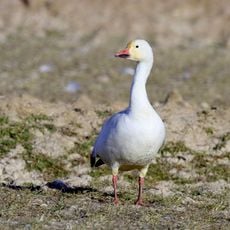
The name of this Arctic Ocean settlement refers to the shape of a caribou skull, once found along these shores. The Inuvialuit community still uses the coastal waters for fishing and watches belugas swim into shallow bays during summer months.
Visitors reach the hamlet by plane in about 30 minutes from Inuvik or drive two and a half hours on the Inuvik-Tuktoyaktuk Highway. The road operates year-round, but winter brings extreme temperatures and short daylight hours, while in summer the sun stays above the horizon for weeks.
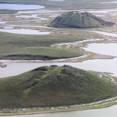
Near the shore lie natural stone reefs that, according to local stories, formed when caribou turned to stone while swimming in the Arctic waters. Several of these formations look from a distance like large animals at rest.
The community of curious travelers
AroundUs brings together thousands of curated places, local tips, and hidden gems, enriched daily by 60,000 contributors worldwide.