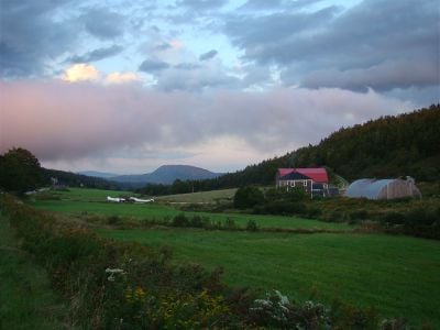
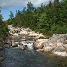
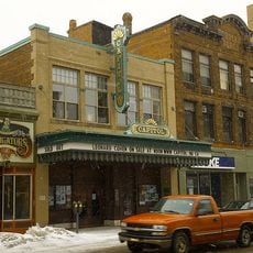
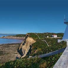
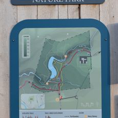
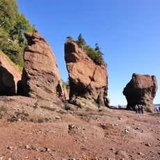
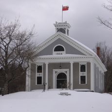
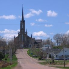
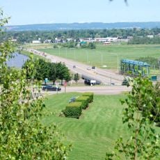
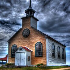
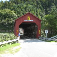
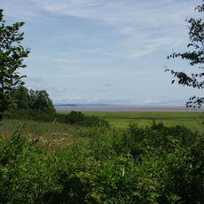
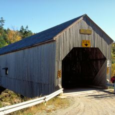
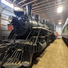
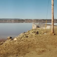
Albert County, county in New Brunswick, Canada
Location: New Brunswick
Elevation above the sea: 179 m
Shares border with: Saint John County
GPS coordinates: 45.76392,-64.88358
Latest update: March 30, 2025 12:53
The Rocks Provincial Park
25 km
Fundy National Park
19.6 km
Capitol Theatre
37 km
Centennial Park
36.6 km
Assumption Place
37 km
Riverfront Trail, Greater Moncton
36.7 km
Joggins Fossil Cliffs
36.2 km
Monument-Lefebvre
34.3 km
CN Sportplex
37.1 km
Cape Enrage Lighthouse
20.6 km
Mill Creek Nature Park
34.6 km
Fundy Biosphere Reserve
20.6 km
Albert County Museum
25.6 km
Government of Canada Building
37.1 km
Saint-Thomas de Memramcook Church
34.1 km
Pont-jetée de la rivière Petitcodiac
34.2 km
Sainte-Anne Chapel
26.9 km
Point Wolfe Bridge
25.8 km
Shepody National Wildlife Area
11.2 km
Forty Five River No.1 Bridge
10.2 km
New Brunswick Railway Museum
25.6 km
Belliveau Village Wharf
28.1 km
Near East Market & Restaurant
34.5 km
Federal Building, Dominion Public Building
36.7 km
Explosion
37.1 km
Dorchester Penitentiary, Administrative Building
33.2 km
Capitol Theatre Main Hall
37 km
Administration Building
19.5 kmReviews
Visited this place? Tap the stars to rate it and share your experience / photos with the community! Try now! You can cancel it anytime.
Discover hidden gems everywhere you go!
From secret cafés to breathtaking viewpoints, skip the crowded tourist spots and find places that match your style. Our app makes it easy with voice search, smart filtering, route optimization, and insider tips from travelers worldwide. Download now for the complete mobile experience.
A unique approach to discovering new places❞
— Le Figaro
All the places worth exploring❞
— France Info
A tailor-made excursion in just a few clicks❞
— 20 Minutes