
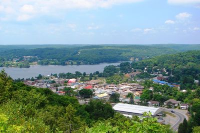
Dysart et al, municipality in Haliburton County, Ontario, Canada
Location: Haliburton County
Website: http://www.dysartetal.ca/
Shares border with: Algonquin Highlands
Website: http://dysartetal.ca
GPS coordinates: 45.20000,-78.41670
Latest update: March 3, 2025 20:56
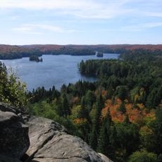
Algonquin Provincial Park
70.4 km
Arrowhead Provincial Park
64.8 km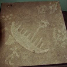
Petroglyphs Provincial Park
71.5 km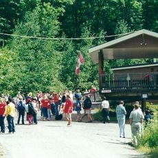
YMCA Camp Wanakita
25.2 km
Queen Elizabeth II Wildlands Provincial Park
65.1 km
Silent Lake Provincial Park
41.4 km
Balsam Lake Provincial Park
72.7 km
Kawartha Highlands Provincial Park
51.8 km
Camp Pathfinder
44.4 km
Haliburton Scout Reserve
14.5 km
Lake St. Peter Provincial Park
34.3 km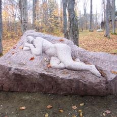
Haliburton Sculpture Forest
18.4 km
Upper Madawaska River Provincial Park
42.6 km
The Gut
64.4 km
Opeongo River Provincial Park
58.9 km
Egan Chutes Provincial Nature Reserve
54.8 km
Bonnechere River Provincial Park
77.2 km
Eagle’s Nest Park
46.3 km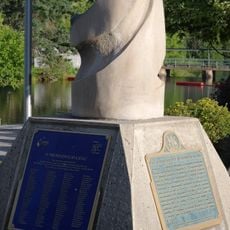
Icelandic Settlement Disaster Memorial
50.1 km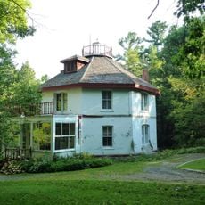
Woodchester Villa
72 km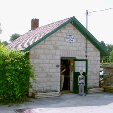
Old Jail House
67.3 km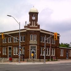
Gravenhurst Post Office
81.5 km
Bigwind Lake Provincial Park
49.8 km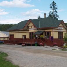
Kinmount Rail Station
50.1 km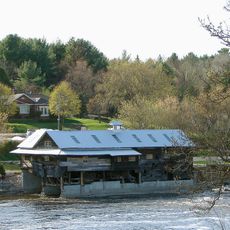
Austin Sawmill
50.3 km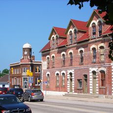
Albion Hotel
81.5 km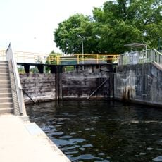
Young's Point Lock
80.6 km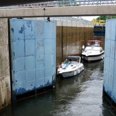
Fenelon Falls Lock
78.1 kmReviews
Visited this place? Tap the stars to rate it and share your experience / photos with the community! Try now! You can cancel it anytime.
Discover hidden gems everywhere you go!
From secret cafés to breathtaking viewpoints, skip the crowded tourist spots and find places that match your style. Our app makes it easy with voice search, smart filtering, route optimization, and insider tips from travelers worldwide. Download now for the complete mobile experience.

A unique approach to discovering new places❞
— Le Figaro
All the places worth exploring❞
— France Info
A tailor-made excursion in just a few clicks❞
— 20 Minutes