
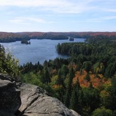
Opeongo River Provincial Park, provincial park of Ontario, Canada
Location: Nipissing District
Inception: 1990
Website: https://ontarioparks.com/park/opeongoriver
GPS coordinates: 45.58170,-77.89420
Latest update: March 5, 2025 09:10

Algonquin Provincial Park
67.2 km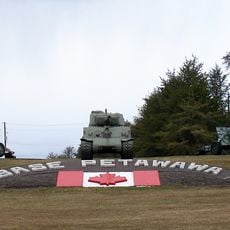
CFB Petawawa
59.5 km
YMCA Camp Wanakita
81.6 km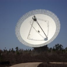
Algonquin Radio Observatory
43.9 km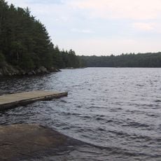
Silent Lake Provincial Park
74.8 km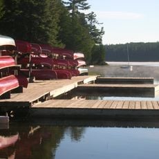
Camp Pathfinder
58.4 km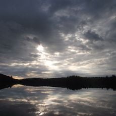
Haliburton Scout Reserve
64.3 km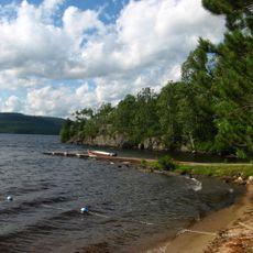
Driftwood Provincial Park
67.8 km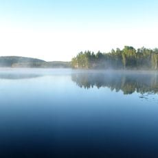
Lake St. Peter Provincial Park
29.3 km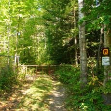
Westmeath Provincial Park
80.2 km
Lower Madawaska River Provincial Park
57.2 km
Foy Property Provincial Park
31 km
Haliburton Sculpture Forest
76.7 km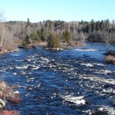
Upper Madawaska River Provincial Park
16.7 km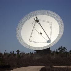
Algonquin 46m radio telescope
43.9 km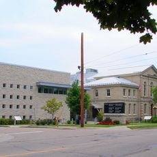
Renfrew County Courthouse
67.1 km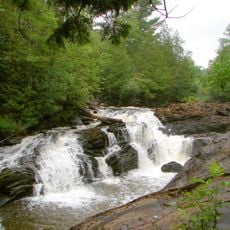
Egan Chutes Provincial Nature Reserve
57.1 km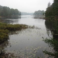
Bonnechere River Provincial Park
18.7 km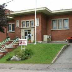
Pembroke Public Library
66.5 km
Eagle’s Nest Park
56.7 km
Rocher à l'Oiseau
67.8 km
Centennial Lake Provincial Nature Reserve
80.4 km
Fort William
63.5 km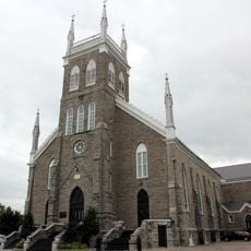
St. Columbkille Cathedral
66.2 km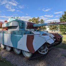
CFB Petawawa Military Museum & Canadian Airborne Forces Museum
59.7 km
Logos Land
82.2 km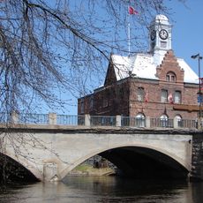
Pembroke City Hall/Pembroke Post Office
66.7 km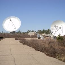
Algonquin 11m telescope
43.9 kmReviews
Visited this place? Tap the stars to rate it and share your experience / photos with the community! Try now! You can cancel it anytime.
Discover hidden gems everywhere you go!
From secret cafés to breathtaking viewpoints, skip the crowded tourist spots and find places that match your style. Our app makes it easy with voice search, smart filtering, route optimization, and insider tips from travelers worldwide. Download now for the complete mobile experience.

A unique approach to discovering new places❞
— Le Figaro
All the places worth exploring❞
— France Info
A tailor-made excursion in just a few clicks❞
— 20 Minutes