Plains of Abraham

Log in to your account

AroundUs is a community-driven map of interesting places, built by curious explorers like you. It grows with every review, story, and photo you share.
Connect to save your favorite spots, contribute locations, and create personalized routes.
Continue with Google
Continue with Apple
Continue with X
Continue with Facebook
Continue with email
By continuing, you accept our Terms and Conditions and our Privacy Policy
Create an account

Plains of Abraham

Add to collection
Map
Suggest a change
Share

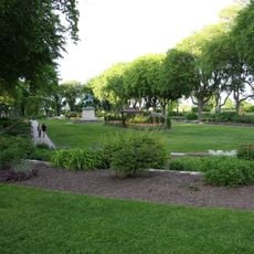
Plains of Abraham, Urban park in Quebec City, Canada

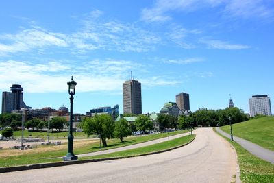
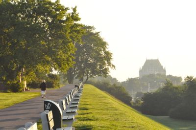
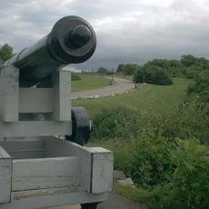
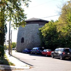
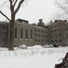
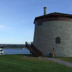
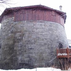
The Plains of Abraham form a broad green expanse on the heights above the Saint Lawrence River in the western part of the old city. This section of the fortifications stretches along the cliffs and offers open meadows, paths through groves of trees and sections with groomed lawns and gardens.

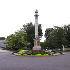
British troops defeated the French army here in September 1759 in a battle that decided the course of the Seven Years War in North America. This military turning point led to British rule over Canada and changed the political map of the continent.

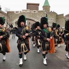
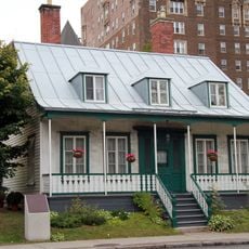
The name comes from Abraham Martin, a fisherman who kept livestock here in the seventeenth century. Today the site serves as a gathering place for festivals, sports events and daily walks by residents who use the green spaces and lookout points.

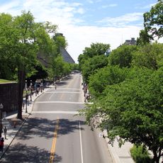
The park remains open year-round and offers cross-country skiing trails in winter along with outdoor concerts and events in summer. Visitors find several entrances along Grande Allée and on Rue de Bernières, from which paths lead to the lookout points above the river.

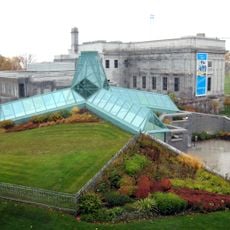
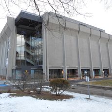
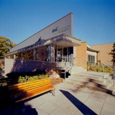
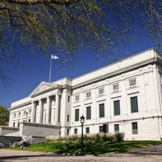
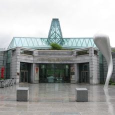
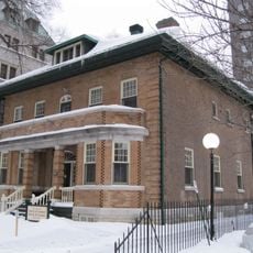
A small museum at the edge of the park displays archaeological finds and documents from the French colonial period. The exhibitions focus on the siege of the city and the excavations carried out here over the years.

Location: La Cité-Limoilou

Part of: The Battlefields Park

Address: 835 Av. Wilfrid-Laurier, Québec, QC G1R 2L3, Canada

Phone: +14186496157

Website: http://ccbn-nbc.gc.ca/en

GPS coordinates: 46.79972,-71.22083

Latest update: December 12, 2025 18:10

Photos
Photo locations in Quebec: Montmorency Falls, Old Quebec, Château Frontenac

Quebec provides varied photographic settings across a province that combines French colonial heritage with extensive natural landscapes. In Quebec City, the stone buildings of Old Quebec, Fairmont Le Château Frontenac, and Montmorency Falls with its 83-meter drop form key subjects. The historic...

Attractions and Monuments in Quebec City & Surroundings

The main monuments and tourist sites of Quebec, including the city's fortifications, historical buildings, public squares, museums, monuments, and natural areas. Sites like the Château Frontenac, Dufferin Terrace, and Montmorency Falls showcase the history and architectural heritage of the city....

Reviews

Visited this place? Tap the stars to rate it and share your experience / photos with the community! Try now! You can cancel it anytime.

« Plains of Abraham - Urban park in Quebec City, Canada » is provided by Around Us (aroundus.com). Images and texts are derived from Wikimedia project under a Creative Commons license. You are allowed to copy, distribute, and modify copies of this page, under the conditions set by the license, as long as this note is clearly visible.

Discover hidden gems everywhere you go!

From secret cafés to breathtaking viewpoints, skip the crowded tourist spots and find places that match your style. Our app makes it easy with voice search, smart filtering, route optimization, and insider tips from travelers worldwide. Download now for the complete mobile experience.

Around Us App Screenshot

A unique approach to discovering new places

Le Figaro

All the places worth exploring

France Info

A tailor-made excursion in just a few clicks

20 Minutes