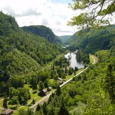
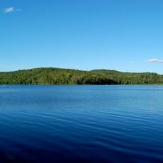
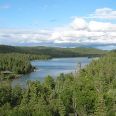
Northeastern Ontario, Administrative region in Ontario, Canada.
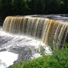
Northeastern Ontario is an expansive region spanning across six administrative districts in Northern Ontario: Algoma, Sudbury, Cochrane, Timiskaming, Nipissing, and Manitoulin. The territory stretches from the Great Lakes shoreline into vast interior landscapes shaped by forest and countless water bodies.
The administrative districts in this region were established starting in 1858 to serve growing populations with courts and government services in northern territories. The system developed to meet the needs of expanding settlements throughout the area.
French language and heritage shape daily life here, with communities organized around both English and French traditions. Local events and services reflect this bilingual identity that marks the region's character.
The Trans-Canada Highway crosses the region through multiple routes, connecting major centers like Greater Sudbury and North Bay via Highways 11, 17, 66, and 69. These roads form the main pathways for travel through the territory.
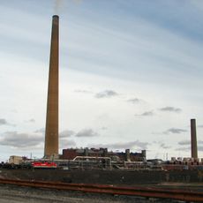
The region holds substantial natural resources and serves as a major hub for mining and forestry operations. These industries have shaped the economy and way of life in many local communities for generations.
The community of curious travelers
AroundUs brings together thousands of curated places, local tips, and hidden gems, enriched daily by 60,000 contributors worldwide.