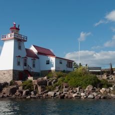
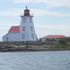
Killbear Provincial Park, Nature reserve in Carling Township, Canada.
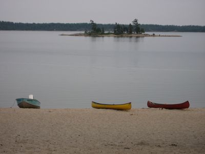
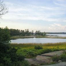
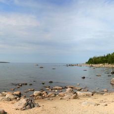
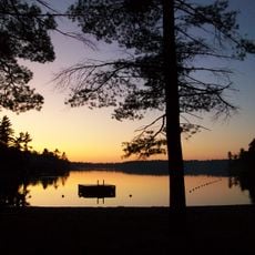
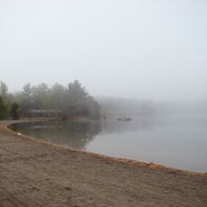
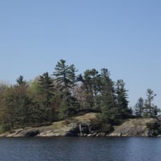
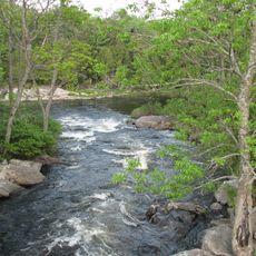
Killbear Provincial Park is a nature reserve on the Georgian Bay coast, featuring rocky shorelines and sandy beaches throughout its territory. The landscape combines forested areas with exposed granite outcrops, sheltered coves, and shallow bays that define the character of the place.
The location gained its name from a natural corridor where bears swim between the mainland and Parry Island. Nineteenth-century logging operations shaped the landscape before the area was set aside for protection and recreation.
The park carries the Anishinabek name Mukwa Nayoshing, meaning Bear Point, reflecting the region's significance to Indigenous peoples. The Wasauksing First Nation maintains active connections to these ancestral lands through cultural initiatives and ongoing stewardship.
The park provides camping facilities, hiking trails, and water activities across its grounds throughout the year. Visiting is most comfortable in warmer months, though the area remains accessible during cooler seasons with adjusted recreational options.
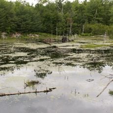
The landscape still shows traces of nineteenth-century logging camps and original tree stumps scattered throughout the forests. These remnants tell the story of industrial activity and demonstrate how nature has gradually reclaimed the space.
The community of curious travelers
AroundUs brings together thousands of curated places, local tips, and hidden gems, enriched daily by 60,000 contributors worldwide.