Pukaskwa National Park, National park in Thunder Bay District, Ontario, Canada
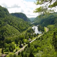
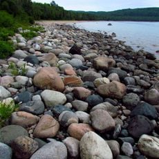
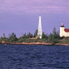
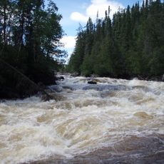
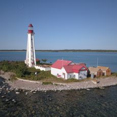
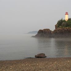
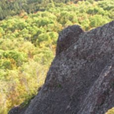
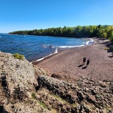
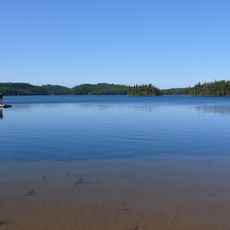
Pukaskwa National Park covers 1,878 square kilometres of boreal forest on Lake Superior's eastern shore, 15 kilometres south of Marathon. The park protects part of the longest undeveloped shoreline on the Great Lakes. Its highest point is Tip Top Mountain at 641 metres, and rivers including the Pukaskwa, White and Willow cross the park.
Pukaskwa National Park was established in 1978, protecting part of the longest undeveloped shoreline on the Great Lakes. Archaeological work at the Pic River mouth began in 1957, and excavations in 1960–61 under J. Norman Emerson uncovered a camp from around 1700 and material radiocarbon-dated to 962 AD. A Hudson's Bay Company post founded by Gabriel Cotte in the 1780s stood nearby until 1888.
The name Pukaskwa probably derives from the Ojibwe and Cree word "Pukasu", describing the cooking of marrow in animal bones over an open fire. The park's Pukaskwa Pits, stone-dug hollows 1 to 2 m long and about 1.5 m deep, were first studied in 1949 and protected from 1971; elders consider them spiritual rather than storage pits. Local Pic River First Nation elders invite visitors to their annual powwow.
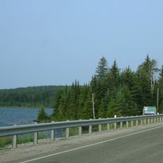
Hattie Cove is the main access point to the park and provides the only road connection through Provincial Highway 627. From this location, visitors can reach trails and explore the park's different areas.
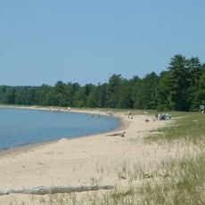
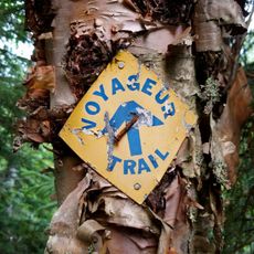
The Coastal Trail extends along Lake Superior's shore and passes through remote wilderness and ancient rock formations. This route reveals less-visited parts of the shoreline where nature reveals its wild character clearly.
The community of curious travelers
AroundUs brings together thousands of curated places, local tips, and hidden gems, enriched daily by 93,916 contributors worldwide.