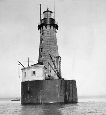
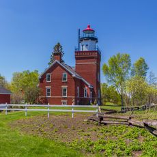
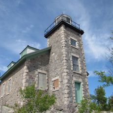
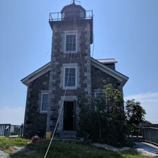
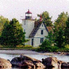
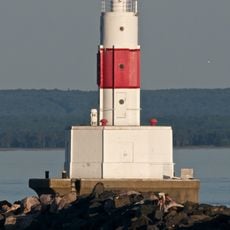
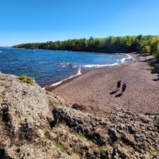
Stannard Rock Light, Lighthouse in Lake Superior, Michigan
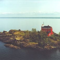
Stannard Rock Light is a lighthouse in Lake Superior, Michigan, standing 30 meters tall on a submerged reef about 24 miles from the nearest shore point. The structure rests on a massive foundation of stone and concrete built directly onto the underwater reef, providing stability in the harsh waters of the lake.
The captain discovered the reef in 1835 during a survey, and construction began in 1878 following several shipwrecks in the area. The light was first lit in 1883 and served as a staffed post until automation in the late 1960s.
The name honors Captain Charles Stannard, and the structure once housed keepers who lived here for weeks without contact with shore. Visitors cannot access the building, but its form and location still convey the sense of isolation and demanding conditions on the open water.
The structure is closed to visitors and can only be viewed from a distance, typically from boats or by air. The safest time for boat trips nearby is late summer, when weather conditions on the lake tend to be calmer.
The workers built a protective wooden crib around the foundation to allow construction below the water surface and shield the masonry from waves. Today the system automatically collects weather data and transmits it to research facilities monitoring climate and storm activity on the lake.
The community of curious travelers
AroundUs brings together thousands of curated places, local tips, and hidden gems, enriched daily by 60,000 contributors worldwide.