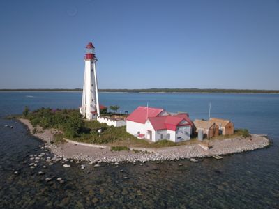
Caribou Island Light, Federal heritage lighthouse in Thunder Bay District, Canada.
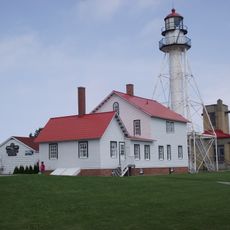
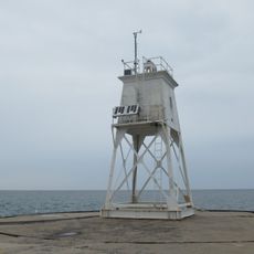
Caribou Island Light is a lighthouse in Thunder Bay District featuring a white concrete tower that stands about 32 meters high with six flying buttresses supporting its structure and a lantern room at the top. The tower includes a viewing platform partway up and uses solar power to operate its light, which flashes white and helps vessels navigate the treacherous reef-filled waters around it.
Parliament approved funding for the lighthouse in 1884, and operations began on August 26, 1886. The tower and its original fog trumpet were part of early efforts to make navigation through Lake Superior's dangerous eastern waters safer for sailors.
The lighthouse represents the maritime navigation heritage of Canada, marking the development of safe passage through Lake Superior's eastern waters.
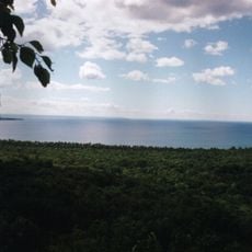
The lighthouse sits on a small five-acre island about one mile west of Caribou Island's southern tip in remote lake waters. Access requires reaching the location by boat, as there is no land connection to the mainland.
The light operates with a distinctive flashing pattern that helps sailors quickly identify it compared to other beacons in the region. This signal was specifically designed to stand out and prevent confusion with other lighthouse signals nearby.
Location: Thunder Bay District
Inception: 1886
GPS coordinates: 47.33968,-85.82589
Latest update: December 6, 2025 17:44
Canada's lighthouses stand as markers of maritime history, guiding ships through dangerous waters for generations. These towers line the country's coasts, from the foggy shores of Nova Scotia to the rocky cliffs of British Columbia. Peggy's Point Lighthouse, Cape Spear, and Cape Bonavista are among...
Tahquamenon Falls
95.6 km
Tahquamenon Falls State Park
95.1 km
Agawa Canyon
101.5 km
Pukaskwa National Park
101.6 km
Great Lakes Shipwreck Museum
91.4 km
Lake Superior Provincial Park
86.5 km
Whitefish Point Underwater Preserve
91.2 km
Whitefish Point Light
91.4 km
Pancake Bay Provincial Park
95.2 km
Au Sable Light
78 km
Crisp Point Light
78.3 km
129
29.3 km
Pickle Barrel House
75.4 km
SS John Mitchell
79.8 km
Sable Falls
76 km
Whitefish Point Bird Observatory
91.4 km
Bridalveil Falls
106.6 km
Batchawana Bay Provincial Park
105.7 km
Beaver Basin Wilderness
94.4 km
Sandy Islands Provincial Park
106.5 km
Edmund Fitzgerald Memorial
91.3 km
Whitefish Point Lighthouse Historical Marker
91.4 km
Chapel Rock
99.6 km
Grand Marais Harbor of Refuge Outer Light
73.8 km
Post Office Historical Marker
91.6 km
Lower Falls
94.5 km
Whitefish Township Community Library
100.7 km
Pictured Rocks
102.9 kmVisited this place? Tap the stars to rate it and share your experience / photos with the community! Try now! You can cancel it anytime.
Discover hidden gems everywhere you go!
From secret cafés to breathtaking viewpoints, skip the crowded tourist spots and find places that match your style. Our app makes it easy with voice search, smart filtering, route optimization, and insider tips from travelers worldwide. Download now for the complete mobile experience.
A unique approach to discovering new places❞
— Le Figaro
All the places worth exploring❞
— France Info
A tailor-made excursion in just a few clicks❞
— 20 Minutes