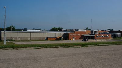
Erin, Rural municipality in Wellington County, Ontario, Canada.
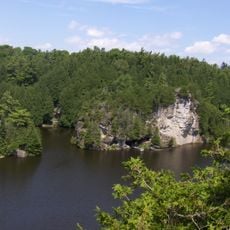
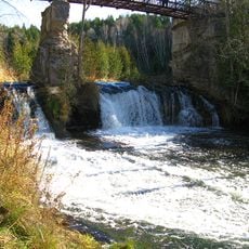
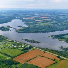
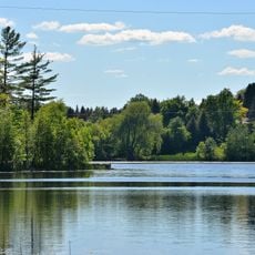
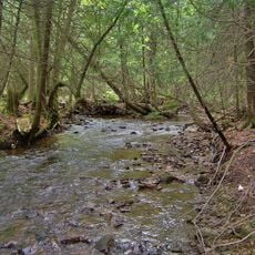
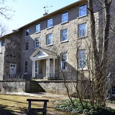
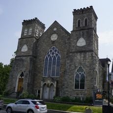
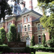
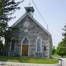
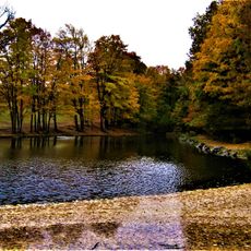
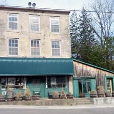
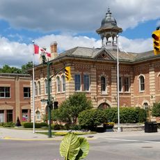
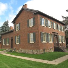
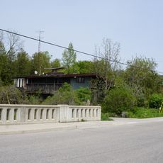
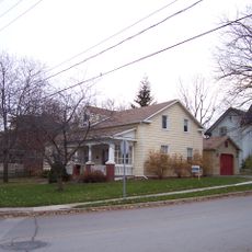
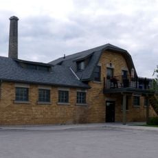
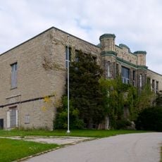
Erin is a rural municipality in Wellington County that spreads across rolling terrain with the West Credit River flowing through its center. The town features Victorian-era buildings and walking paths lined with native trees and shrubs.
Scottish settlers founded Erin Township in 1820 and organized the first municipal structures within a few years. The area grew from these early foundations while maintaining connections to its origins.
The town hosts annual celebrations like the St Patrick's Day Festival and the Erin Fall Fair that draw people from neighboring communities. These events shape how locals and visitors experience the place throughout the year.
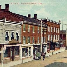
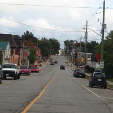
The town sits roughly 80 kilometers northwest of Toronto and is accessible for day trips. Main Street offers several shops, bakeries, and food vendors where travelers can browse and grab food.
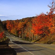
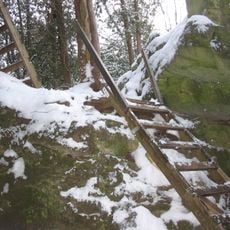
A former rail corridor called the Elora Cataract Trailway runs through the municipality and links it to a wider network of walking routes. This converted path demonstrates how abandoned railway lines are reimagined as recreational trails.
Location: Wellington County
Inception: 1820
Shares border with: East Garafraxa, Caledon, Centre Wellington, Guelph/Eramosa, Milton, Halton Hills
Website: http://erin.ca
GPS coordinates: 43.76670,-80.06670
Latest update: December 7, 2025 19:22
Cheltenham Badlands
9.9 km
Greater Golden Horseshoe Greenbelt
14 km
Rockwood Conservation Area
18.4 km
Halton County Radial Railway
21 km
Forks of the Credit Provincial Park
7 km
Guelph Lake
22.9 km
Heart Lake Conservation Area
22 km
Limehouse Conservation Area
16.6 km
Hockley Valley Provincial Nature Reserve
24.3 km
Rockwood Academy
18.2 km
Hockley Highlands Inn
23.3 km
John Thornton Theatre
17.4 km
Knox Presbyterian Church
17.4 km
Dufferin County Courthouse and Registry Office
17.2 km
Eden Mills Presbyterian Church
22.7 km
Glen Haffy Conservation Area
22.1 km
Uptown Theatre
17.2 km
Eden Mills General Store
21.9 km
Municipal Building/Orangeville Town Hall
17.2 km
Speedside United Church
20.9 km
St. John Anglican Church
17.7 km
Bovaird House
24.1 km
Eden Mills
21.8 km
Lawrence/Reid House
17 km
Hillsburgh
6.8 km
Beatty Pool Building
25.8 km
Belwood
20.8 km
Fergus and District High School
25.7 kmVisited this place? Tap the stars to rate it and share your experience / photos with the community! Try now! You can cancel it anytime.
Discover hidden gems everywhere you go!
From secret cafés to breathtaking viewpoints, skip the crowded tourist spots and find places that match your style. Our app makes it easy with voice search, smart filtering, route optimization, and insider tips from travelers worldwide. Download now for the complete mobile experience.
A unique approach to discovering new places❞
— Le Figaro
All the places worth exploring❞
— France Info
A tailor-made excursion in just a few clicks❞
— 20 Minutes