Cheltenham Badlands, Geological formation in Caledon, Canada.
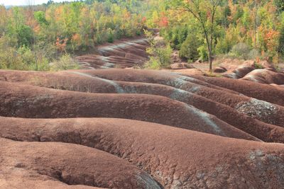
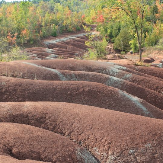
The Cheltenham Badlands are low, rounded mounds of brick-red Queenston shale broken by shallow, curved gullies running roughly parallel, with pale grey-green bands along the slopes where groundwater has bleached the rock. The exposed badlands cover about 0.4 square kilometres of the 36.6-hectare property; trees and shrubs line the top edge behind the bare ground.
Cattle grazed this land in the late 1800s and early 1900s, and farming stopped in 1931, after which natural recovery began. The exposed Queenston shale is highly susceptible to erosion, and continued land clearing, over-grazing and foot traffic keep the bare section stripped of vegetation.
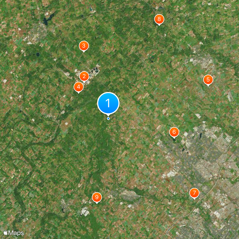
The site's name comes from the nearby village of Cheltenham, and it is also called the Chinguacousy Badlands, Red Clay Hills, Caledon Badlands or Inglewood Badlands. The Bruce Trail crosses the property, and its main trail here is the starting point of the Caledon Hills Bruce Trail Club section. Visitors walk on a boardwalk and fenced paths above the exposed shale.
Access runs from May through November, and you need to book parking in advance through the ParkPass system before visiting. Wear sturdy shoes since the ground can be slippery and uneven, and allow time to explore the trails safely.
The red rocks here formed from a seafloor that existed 450 million years ago, making this one of the few places where such ancient geological layers are directly visible. You can actually touch stone that's been buried for most of Earth's history, now exposed by recent erosion.
The community of curious travelers
AroundUs brings together thousands of curated places, local tips, and hidden gems, enriched daily by 92,628 contributors worldwide.