Lemoine Point Conservation Area, Protected area in Kingston, Canada
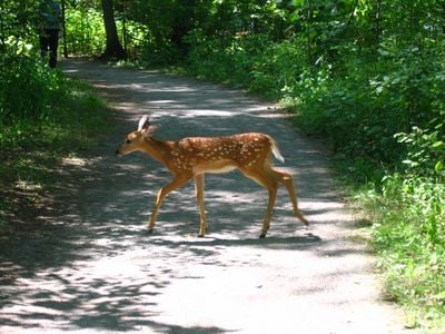
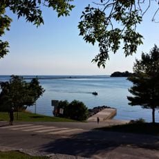
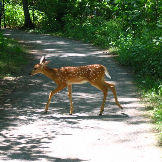
Lemoine Point is a 136-hectare conservation area near Kingston featuring deciduous woodlands, marshlands, open fields, and 2.5 kilometers of shoreline along Lake Ontario and Collins Bay. A network of trails connects these different environments, allowing visitors to move between forest, wetland, and waterfront sections.
In 1784, Loyalist Johan Jost Herkimer received a 3,450-acre land grant west of Cataraqui for service to the Crown during the American Revolutionary War; the tract including this point became known as Herkimer's Nose. The Herkimer family held it until selling to Captain William Lemoine in 1836, and the Lemoine family later sold it to William Hugh Coverdale as a summer property. The Cataraqui Region Conservation Authority acquired the present conservation area in 1975; 35 hectares remain Coverdale farmland.
The area takes its name from the Lemoine family, who owned the land from 1836 until selling it to William Hugh Coverdale as a summer property. The earlier name, Herkimer's Nose or Herkimer's Point, recalled Loyalist Johan Jost Herkimer, granted the land in 1784. Part of the original land, 35 hectares, is still farmed by the Coverdale family.
Two entrances with their own parking lots sit at the north and south ends of the conservation area. Most trails are flat, and several are wide and smooth enough for wheelchair users. Picnic tables, barbecues and washrooms are on site.
The conservation area covers 136 hectares, but the Cataraqui Region Conservation Authority wants to extend it to 170 hectares by acquiring 35 hectares of farmland still held by the Coverdale family. That parcel is the last piece of the old estate not yet public land.
The community of curious travelers
AroundUs brings together thousands of curated places, local tips, and hidden gems, enriched daily by 93,032 contributors worldwide.