Spadina—Fort York, Federal electoral district in downtown Toronto, Canada
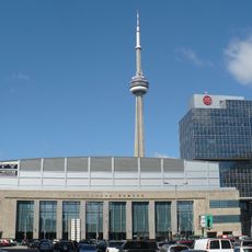
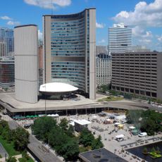
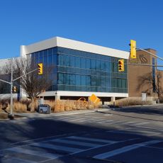
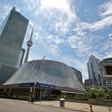
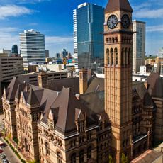
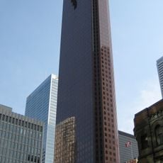
Spadina–Fort York is a federal electoral district in western downtown Toronto that extends from Ossington Avenue to the Don River. The area stretches from the city boundary south to the waterfront and contains several distinct urban zones.
The district emerged in 2012 through a redistribution of federal electoral boundaries that combined parts of two neighboring districts. This change followed a broader adjustment to boundaries meant to reflect Toronto's growing population more accurately.
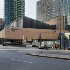
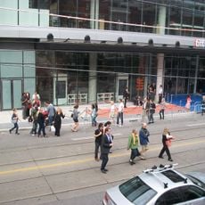
The area reflects Toronto's diversity through different communities that live and work here side by side. Walking through, you notice the mix of languages, local businesses, and cultural expressions that shape the neighborhood's character.
When visiting the area, follow the streets between Ossington and the Don River to experience the different zones. The district is well-served by public transit and easy to explore on foot.
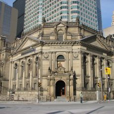
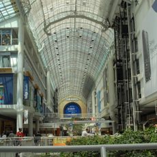
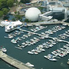
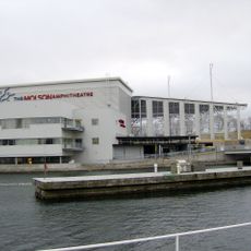
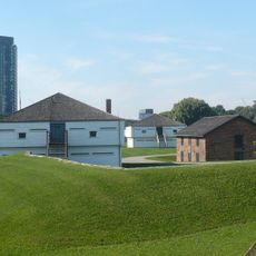
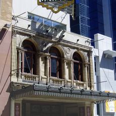
The area includes several historical landmarks, including former industrial buildings that have been repurposed for new uses. This transformation shows how the district has evolved from its past as a commercial hub into a mixed residential neighborhood.
The community of curious travelers
AroundUs brings together thousands of curated places, local tips, and hidden gems, enriched daily by 60,000 contributors worldwide.