Chest opened
+${chestReward.xp} XP
Explorer
NOUVEAU ×${chestReward.collectible.quantity}
tapez pour fermer
Chest locked

Open chests in the app

Around Us is built for your phone — chests unlock when you walk, explore and capture nearby places.

Enable Location

We need your location to show you interesting places around you

Discover nearby places

Find interesting locations and hidden gems around you

Precise directions

Get accurate directions and distances to places

Your location is never shared with other users. It's only used when you tap the location button.

Lepontine Alps

Log in to your account

Start exploring — it's free

Trusted by 72,926 travelers worldwide

Continue with Google
Continue with Apple
or

We will send you a code to connect

By continuing, you accept our Terms and Conditions and our Privacy Policy

Check your inbox

We've sent a pincode in your inbox. Please enter the code below.

Lepontine Alps
Discussion Reviews 1 Photos
13.6k Popularity

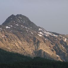
Lepontine Alps, Mountain range in Valais, Ticino, Uri, Grisons, Piedmont, and Lombardy, Switzerland and Italy

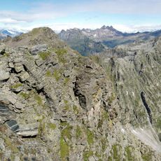
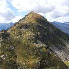
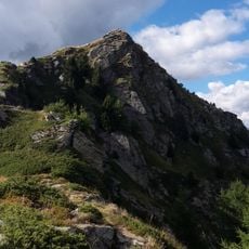
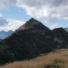
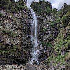
The Lepontine Alps spread across the Swiss-Italian border with multiple peaks rising above 3,500 meters, including high mountain passes that connect the two countries. Deep valleys and mountain lakes punctuate the landscape, creating varied terrain for hiking and exploration.

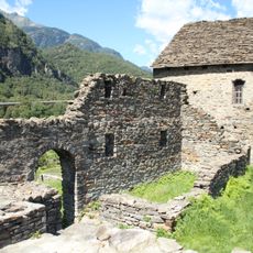
The name comes from the Lepontii, a Celtic people who lived in these mountains before Roman settlements arrived in the region. Later, the valleys became key trade routes connecting the north and south through mountain passes that shaped local development.

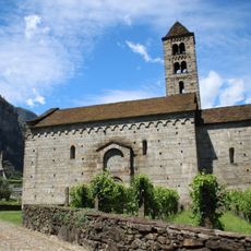
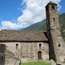
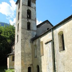
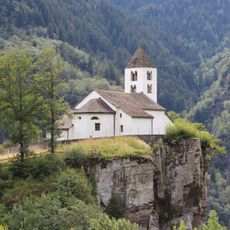
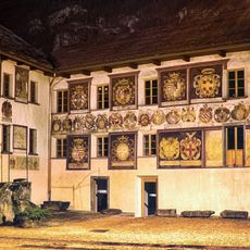
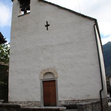
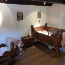
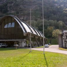
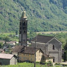
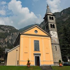
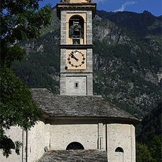
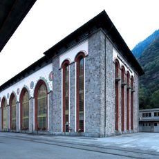
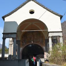
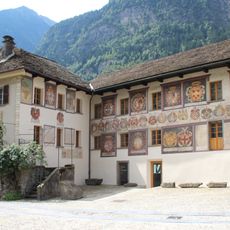
The valleys here are home to traditions visible in local festivals, handmade regional products, and the distinctive stone houses that define the mountain communities. You can see in the villages how people have adapted their daily lives to the mountain environment over many generations.

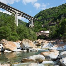
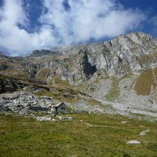
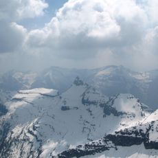
The region is accessible through several mountain passes and modern railway tunnels that offer year-round access beneath the peaks. Hikers should prepare for changing weather conditions and expect snow or rain at higher elevations, especially outside the summer season.

This mountain range is known for the Lepontine Dome, a geological formation that reveals the deepest tectonic structures exposed anywhere in the Central Alps. Scientists study these layers to understand how mountain building processes work over vast timescales.

The community of curious travelers

AroundUs brings together thousands of curated places, local tips, and hidden gems, enriched daily by 60,000 contributors worldwide.

Start exploring
Location
Location
Location
Location
Uri
Location
Location
Elevation above the sea
1,699 m
Part of
Northwestern Alps
GPS coordinates
46.38333,8.83333
Latest update
December 7, 2025 20:25
Reviews
Share your experience

No review yet

Discussions
Start a discussion...

No discussion yet

« Lepontine Alps - Mountain range in Valais, Ticino, Uri, Grisons, Piedmont, and Lombardy, Switzerland and Italy » is provided by Around Us (aroundus.com). Images and texts are derived from Wikimedia project under a Creative Commons license. You are allowed to copy, distribute, and modify copies of this page, under the conditions set by the license, as long as this note is clearly visible.

Discover hidden gems everywhere you go!

From secret cafés to breathtaking viewpoints, skip the crowded tourist spots and find places that match your style. Our app makes it easy with voice search, smart filtering, route optimization, and insider tips from travelers worldwide. Download now for the complete mobile experience.

Around Us App Screenshot

A unique approach to discovering new places

Le Figaro

All the places worth exploring

France Info

A tailor-made excursion in just a few clicks

20 Minutes

Around Us
Travel Guide & Maps
Download

Send to your phone

QR Code
1

Open the camera app on your mobile.

2

Point at the QR code with your camera. A notification will appear.

3

Tap the notification to open the link.