Lake Zug, Alpine lake in Central Switzerland
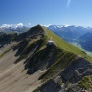
Lake Zug lies at 413 m above sea level in Central Switzerland, covering 38.41 km² with a maximum depth of 198 m. The wooded Chiemen peninsula divides it into the deep, mountain-framed Obersee in the south and the shallow Untersee in the north. The Lorze enters west of Zug and leaves at Cham after 1.5 km.
In 1592 the Lorze outlet at Cham was deepened under Jost Knopfli the Younger, lowering the lake to 413.5 m and draining 1.6 million square metres of lakeshore; the sudden drop set off over 100 landslides, one of which carried nine houses into the water. Further lowering in stages during the first half of the 17th century took the surface down about 2.5 m in all. The first steamer reached the lake in 1852.
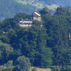
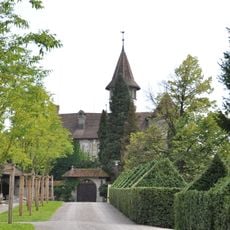
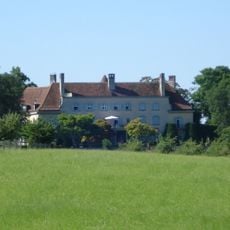
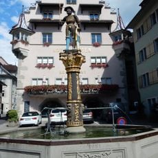
The lake is known for its endemic trout, the Rolheli (Salmo salvelinus), and for pike and carp of considerable weight taken by local fishers. The wooded promontory of Buonas, with its old and new castles, projects into the water on the west shore, and the town of Zug is the principal settlement on the lake.
Public transport on the lake is run by the Zugersee Schifffahrt (Schifffahrtsgesellschaft für den Zugersee AG). Three railway lines follow the shore: Zürich–Zug–Arth-Goldau, Lucerne–Arth-Goldau and Zürich–Zug–Lucerne. The lake is narrowest between Chiemen and Lothenbach, where the shores are about 1,000 m apart.
The Lorze enters the lake west of Zug and leaves it again 1.5 km away at Cham, so the same short river feeds and drains the lake. Because of this weak through-flow, water stays in the basin about 14.5 years on average, and the deep Obersee south of the Chiemen peninsula mixes poorly.
The community of curious travelers
AroundUs brings together thousands of curated places, local tips, and hidden gems, enriched daily by 92,634 contributors worldwide.