Evolène, Protected mountain municipality in Hérens District, Switzerland
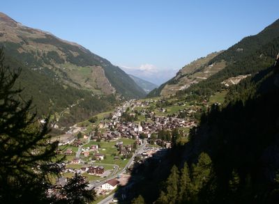
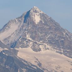
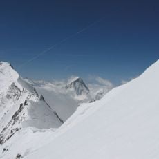
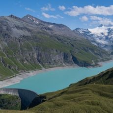
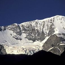
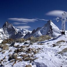
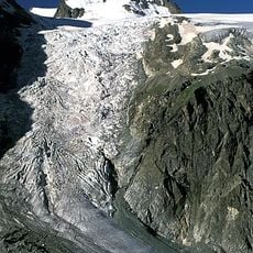
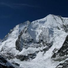
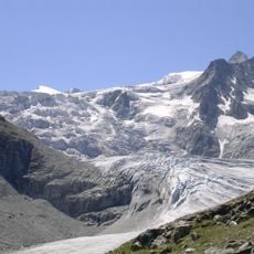
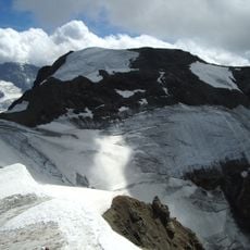
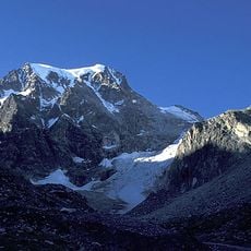
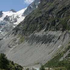
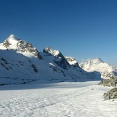
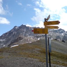
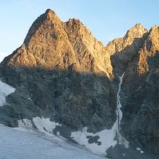
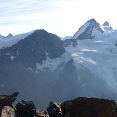
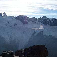
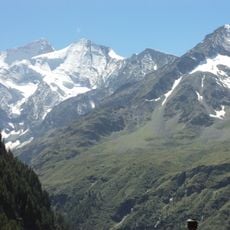
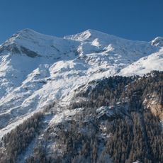
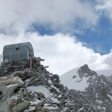
Evolène is a mountain municipality in Switzerland's Hérens District, stretching across varied terrain from lower valleys to high peaks. The landscape is shaped by steep slopes and Alpine meadows, with access to significant summits and walking routes throughout the region.
The area became a separate municipality in 1882 when the Hérens region was divided into two distinct administrative entities. This split reflected changing governance needs in the mountain valley at that time.
The community has kept traditions alive through distinctive building styles, local customs, and the Franco-Provençal language heard in daily interactions. Walking through the villages, you notice how these practices shape the way people live and work together.
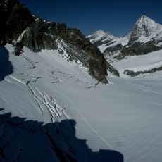
This area is best explored on foot with sturdy footwear, since most routes involve uphill walking and varied ground. Checking weather conditions before visiting is important, as mountain conditions can change quickly and affect accessibility.
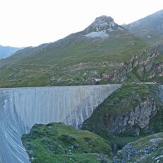
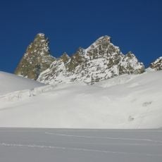
A major avalanche in 1999 led to significant changes in how the community manages risk, with protective measures now visible throughout the landscape. This event fundamentally altered local practices and infrastructure planning in the valley.
Location: Hérens District
Location: Valais
Elevation above the sea: 1,371 m
Shares border with: Bionaz
Website: http://commune-evolene.ch
GPS coordinates: 46.11280,7.49610
Latest update: December 6, 2025 16:03
Switzerland offers much more than its famous destinations. This collection features places where nature and history are discovered at a gentle pace, far from crowds. You will find mountain refuges perched on rocks like Berggasthaus Aescher-Wildkirchli, wild valleys where ibex and chamois live, like...
Dent Blanche
12.5 km
Dent d'Hérens
18 km
Lac de Moiry
6.1 km
Pigne d'Arolla
13.9 km
Tête Blanche
15.3 km
Arolla Glacier
13.5 km
Grand Cornier
11.2 km
Moiry Glacier
8.8 km
Aiguille de la Tsa
10.4 km
Mont Brulé
17.9 km
Barrage de Moiry
6.4 km
Mont Collon
15.1 km
La Serpentine
15.1 km
Ferpècle Glacier
11.1 km
Otemma Glacier
17.7 km
Dent de Perroc
8.4 km
Sasseneire
3.7 km
L'Evêque
16.5 km
Tête de Valpelline
16.7 km
Mont Miné Glacier
11.6 km
Grande Dent de Veisivi
7.3 km
Aiguilles Rouges d'Arolla
7.8 km
Grandes Murailles Glacier
17.6 km
Pigne de la Lé
9.5 km
Pointe des Genevois
8.7 km
Petit Mont Collon
16.2 km
Garde de Bordon
7.9 km
Bivacco Paolo Perelli Cippo
18.5 kmVisited this place? Tap the stars to rate it and share your experience / photos with the community! Try now! You can cancel it anytime.
Discover hidden gems everywhere you go!
From secret cafés to breathtaking viewpoints, skip the crowded tourist spots and find places that match your style. Our app makes it easy with voice search, smart filtering, route optimization, and insider tips from travelers worldwide. Download now for the complete mobile experience.
A unique approach to discovering new places❞
— Le Figaro
All the places worth exploring❞
— France Info
A tailor-made excursion in just a few clicks❞
— 20 Minutes