Chäserrugg, Mountain summit in Toggenburg, Switzerland
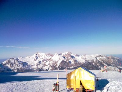
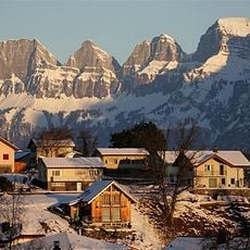
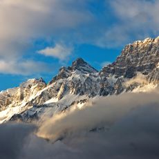
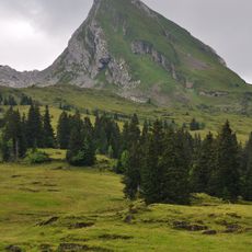
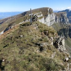
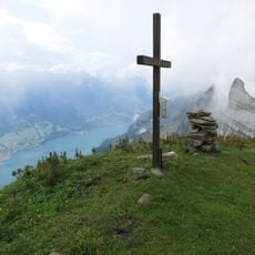
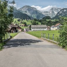
Chäserrugg is the easternmost summit of the Churfirsten range in canton St. Gallen, Switzerland, standing at 2,262 meters (7,421 ft) above sea level. The peak is made of layered limestone and looks out over the Toggenburg valley, Lake Walenstadt, and on clear days a broad arc of Alpine peaks.
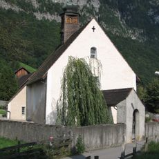
The name refers to the cheesemakers who once used this high pasture for herding and dairy work, and the word for ridge in the local dialect. The Churfirsten group, of which this is the easternmost peak, was formally defined in the early 20th century as a set of seven summits.
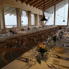
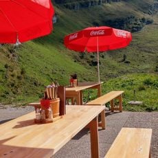
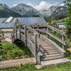
The mountain restaurant at the top was designed by Herzog & de Meuron and built with local timber that blends into the surrounding ridgeline. Visitors eat and rest there while looking out over the Toggenburg valley and the neighboring peaks of the Churfirsten range.
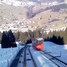
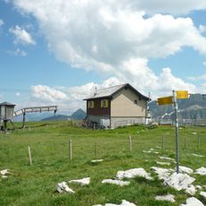
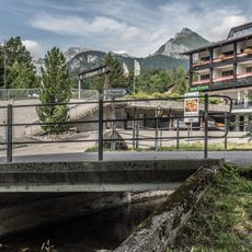
The summit is reached in two stages, first by funicular from Unterwasser to Iltios, then by a gondola to the top area. Weather can shift quickly at this height, so carrying an extra layer and checking the forecast before departure is a good habit.
The building at the top station was completed in 2016 and is one of the few high-altitude structures designed by an office as internationally known as Herzog & de Meuron. The choice to use only local timber inside gives the space a warm feel that stands out against the bare rock outside.
The community of curious travelers
AroundUs brings together thousands of curated places, local tips, and hidden gems, enriched daily by 60,000 contributors worldwide.