Hinderrugg, Mountain summit in canton St. Gallen, Switzerland
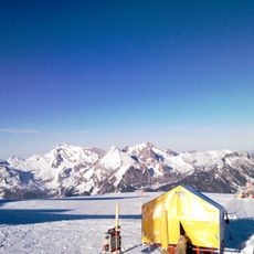
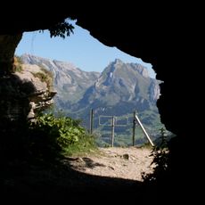
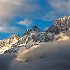
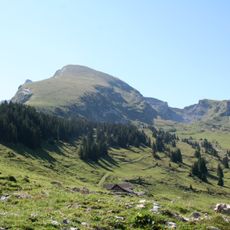
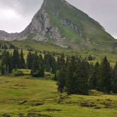
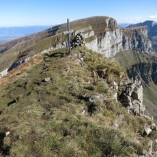
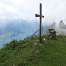
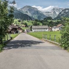
Hinderrugg is a mountain summit in canton St. Gallen that rises to 2306 meters (7566 feet). The peak sits in the Churfirsten range and offers views across the surrounding valleys and limestone ridges.
The Churfirsten chain, including the Hinderrugg, lies on the border of the former territory of Chur, which gave the range its name. The peaks appear on maps as early as 1784, when J. J. Bühler labelled them 'Die VII Churfürsten'. The 1854 Eschmann map fixed the spelling 'Churfirsten'. The name's origin remains debated: some trace it to the seven electors of the Holy Roman Empire, others to the range's position facing Chur.
The name Churfirsten has long been disputed: linguists long read it as the ridges facing Chur, while others link it to the seven prince-electors of the Holy Roman Empire, a reading the legal historian Clausdieter Schott has recently argued from St. Gallen abbey's imperial status. The first map showing "Die VII Churfürsten" dates from 1784; the 1854 Eschmann map settled on Churfirsten.
Access to the summit is via marked trails that require solid hiking experience and good fitness. The best climbing season runs from June through September when snow clears from the paths.
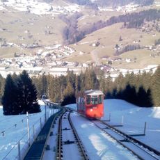
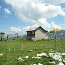
The Hinterrugg is a well-known BASE jumping site: jumpers leap from the Churfirsten's highest summit, which at 2,306 m tops the neighbouring Chäserrugg by 44 m. The Chäserrugg cable car station at 2,262 m lies just below the summit, so the peak is easily reached above Unterwasser in Toggenburg.
The community of curious travelers
AroundUs brings together thousands of curated places, local tips, and hidden gems, enriched daily by 92,886 contributors worldwide.