Schwarzhorn, Alpine summit in Bernese Oberland, Switzerland
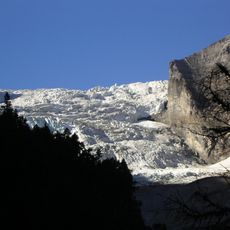
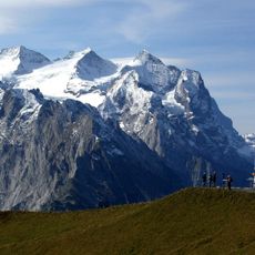
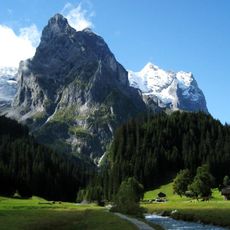
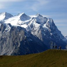
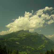
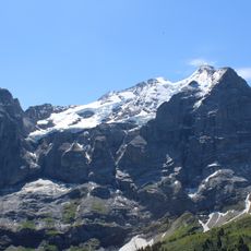
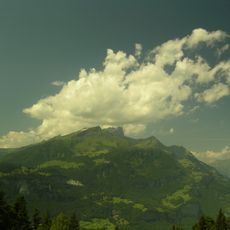
Schwarzhorn is an alpine summit in Switzerland that reaches about 2,900 meters and features a small glacier on its northern face. The mountain consists of steep, dark rocky terrain that makes climbing demanding and technical.
The Schwarzhorn lies north of the Grosse Scheidegg and is the highest point in the municipality of Brienz, at 2,927.7 m according to the official map, where it is spelled Schwarzhoren. Routes reach the summit from the Brienz side via the Axalp, Chüemad and Oberberg, and from the Grindelwald side from First, well marked from the Schilt onward. Experienced mountaineers use the via ferrata along the west ridge through the Grosse Chrinne, which requires a climbing harness with self-belay.
The name combines German schwarz (black) and Horn (peak), and the official map spells it Schwarzhoren. The summit lies in a federal wildlife sanctuary (Jagdbanngebiet) of the same name, where hunting is banned. From the Brienz side the path runs from Axalp via Chüemad and Oberberg; from Grindelwald a marked trail starts at First.
From the Brienz side the mountain path runs from Axalp via Chüemad and Oberberg to the summit. From Grindelwald a path starts at First and is well marked from the Schilt onward. Experienced hikers can take the Grosse Chrinne route over the via ferrata along the west ridge, which requires a climbing harness with self-belay; less experienced parties can hire a mountain guide.
The summit lies in the federal hunting reserve of the same name, the eidgenössisches Jagdbanngebiet Schwarzhorn, where hunting is banned. The official map labels the peak Schwarzhoren, while the common name is Schwarzhorn. Its 2,928-metre height makes it the highest point in the municipality of Brienz.
The community of curious travelers
AroundUs brings together thousands of curated places, local tips, and hidden gems, enriched daily by 93,980 contributors worldwide.