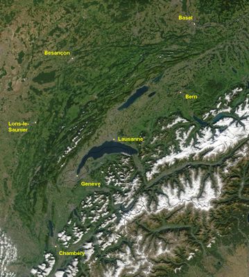
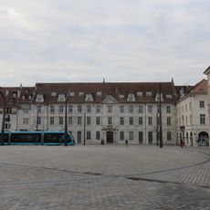
Jura Mountains, Mountain range at French-Swiss border
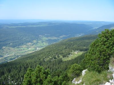
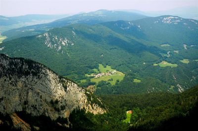
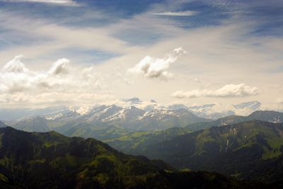
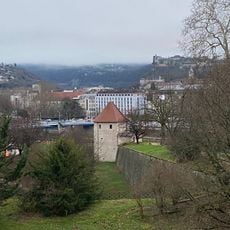
This range stretches in a long arc across three countries, separating the Swiss plateau from the French Rhône valley through gentle, wooded folds of limestone. The highest peaks lie in France near the border, while the broad plateaus and valleys shelter meadows, forests and small settlements.
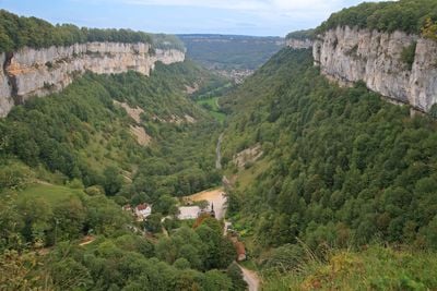
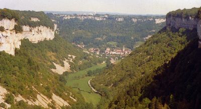
The limestone cliffs formed millions of years ago at the bottom of a shallow sea and were later folded into parallel ridges by tectonic forces. This geological epoch took its name from this range after its characteristic rock layers were first described here.
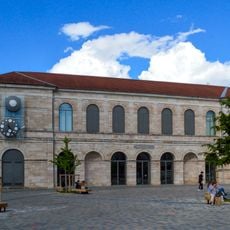
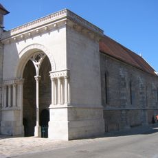
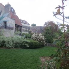
The name of this range comes from the Latin word for forest and reflects the dense spruce woodlands that grow on its gentle slopes. Many small villages along the heights still earn their living from dairy farming and produce local cheeses in traditional alpine dairies.
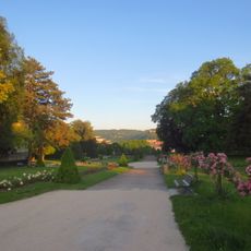
The terrain suits hiking and cycling in summer as well as cross-country skiing in winter, with most ascents remaining moderate. Many paths are well marked and run through open pastures and shaded woods, though weather can change quickly.
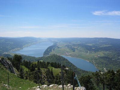
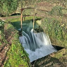
Underground rivers run through the porous limestone and sometimes resurface only after many kilometers. A lake on the Swiss side partly disappears in winter through natural drains and refills in spring with meltwater.
The community of curious travelers
AroundUs brings together thousands of curated places, local tips, and hidden gems, enriched daily by 60,000 contributors worldwide.