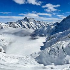
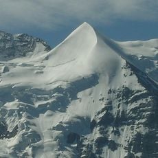
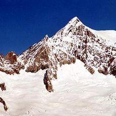
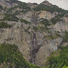
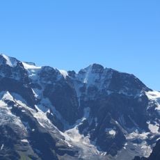
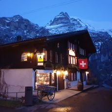
Grosshorn, Mountain summit in Bernese Alps, Switzerland
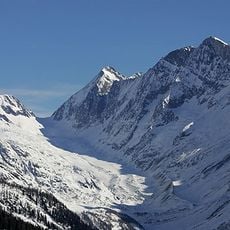
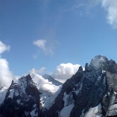
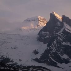
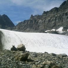
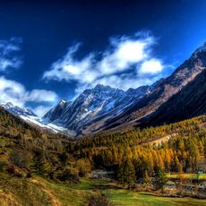
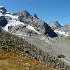
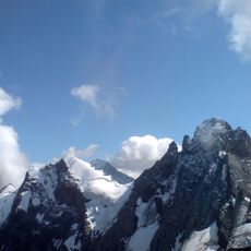
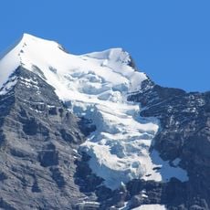
Grosshorn is a mountain peak in the Bernese Alps rising between the cantons of Bern and Valais, forming part of a major ridge system. Its north face presents steep rock and ice terrain, while other sides offer more gradual approaches suitable for different climbing levels.
The sources record no first-ascent date or pioneer names for the Grosshorn, which is described as little-known. Its documented history is cartographic and political: the summit carries the border between the cantons of Bern and Valais and the European watershed, separating the Rhine drainage to the North Sea from the Rhone drainage to the Mediterranean.
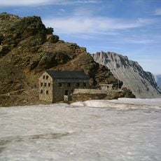
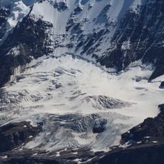
The name Grosshorn means "great horn" in German, and the peak marks the European watershed: its northern slopes drain via the Weisse Lütschine to the Rhine and the North Sea, its southern side via the Lonza and Rhone to the Mediterranean. The Schmadrihütte below the Schmadriglacier serves as the northern base for the few parties who climb it.
The usual ascent starts from the Schmadri Hut to the north or the Anen Hut to the south, the latter following the south ridge at ZS grade. The north face holds harder routes, and in winter the peak is a ski tour objective, also ZS. The summit stands 3,754 m above sea level on the Bernese-Valais border.
The Grosshorn is rarely visited; its normal route is the south ridge from the Anenhütte, rated ZS in the Swiss scale. The north face holds several partly very difficult routes, and in winter the peak is climbed as a ski tour, also rated ZS.
The community of curious travelers
AroundUs brings together thousands of curated places, local tips, and hidden gems, enriched daily by 93,648 contributors worldwide.