Chammliberg, Mountain summit in Uri, Switzerland.
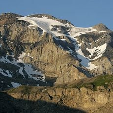
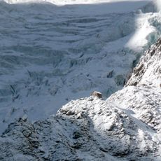
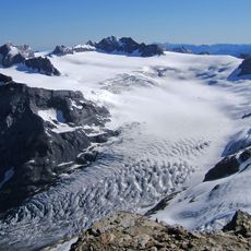
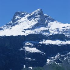
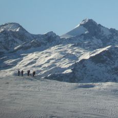
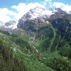
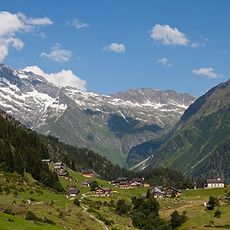
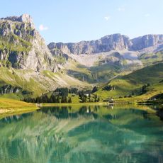
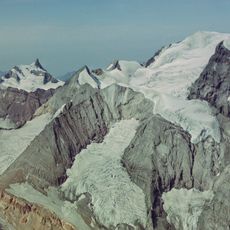
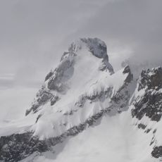
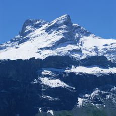
Chammliberg is a mountain of the Glarus Alps in the canton of Uri, reaching 3,215 metres above sea level south of the Klausen Pass. Its south side is covered by the large Hüfi Glacier, while the north-west side falls away as an 800-metre-high face.
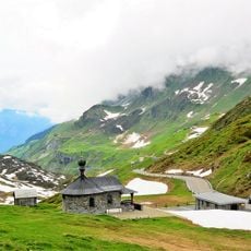
The sources record no medieval trade-route role for Chammliberg; the mountain is documented as a 3,215-metre summit of the Glarus Alps south of the Klausen Pass, on Uri territory. Its north-west side falls away as an 800-metre-high face, while the south side lies under the Hüfi Glacier. The Klausen Pass road below has long carried traffic between Uri and Glarus.
The name Chammliberg combines a local Alpine place name with Berg, German for mountain. The peak rises south of the Klausen Pass, a route long used to cross between Uri and Glarus, and its north-west side forms an 800-metre-high face above the valley. The Hüfi Glacier covers the south side.
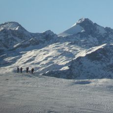
Reaching the summit requires specialized climbing equipment and expert guidance, particularly during winter when snow and ice cover the mountain paths. Check current conditions before planning your ascent.
The north-west side of Chammliberg is an 800-metre-high face, while the south side lies under the large Hüfi Glacier. The mountain rises to 3,215 metres above sea level, south of the Klausen Pass in the Glarus Alps.
The community of curious travelers
AroundUs brings together thousands of curated places, local tips, and hidden gems, enriched daily by 94,248 contributors worldwide.