Clariden, Alpine summit in Glarus Alps, Switzerland
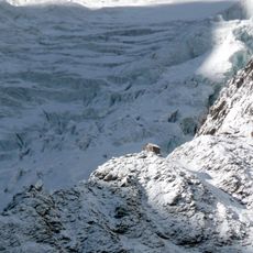
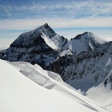
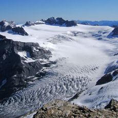
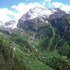
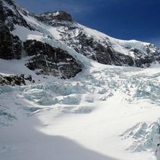
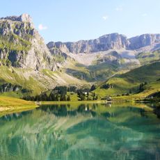
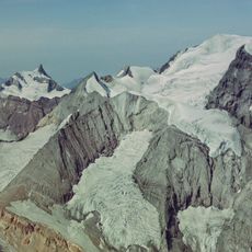
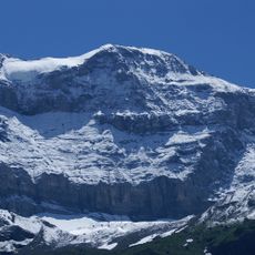
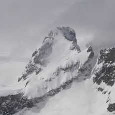
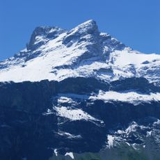
Clariden is a mountain summit in the Glarner Alps that rises steeply between the cantons of Uri and Glarus. The peak stands at the heart of a glaciated region where dramatic rocky slopes meet expansive ice fields that define this high alpine landscape.
The first recorded ascent occurred in 1863, marking an early chapter in alpine exploration of this border region. This climb reflected the growing mountaineering interest in the Swiss high peaks during the 19th century.
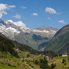
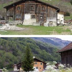
The mountain represents the Alpine heritage of two distinct Swiss cantons, Uri and Glarus, each maintaining their mountain traditions and climbing practices.
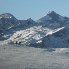
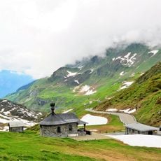
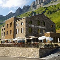
Mountaineers can reach the summit through routes departing from the Clariden Hut or starting near the Klausen Pass with proper alpine gear and experience. The climbing season is best in late spring through summer when conditions are most stable for safe passage.
Two major glaciers divide the mountain's waters in opposite directions: one feeds into the Lucerne lake system to the west, while the other drains toward the Zurich lake region to the east. This geographic split means the summit sits at a true watershed between two important water systems.
The community of curious travelers
AroundUs brings together thousands of curated places, local tips, and hidden gems, enriched daily by 60,000 contributors worldwide.