
Tête aux Chamois, mountain in Switzerland
Location: Aigle District
Elevation above the sea: 2,525 m
GPS coordinates: 46.33976,7.21473
Latest update: March 5, 2025 09:30
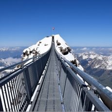
Peak Walk
1.7 km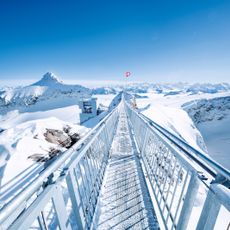
Glacier 3000
1.8 km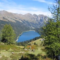
Lake Arnen
5.4 km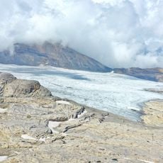
Tsanfleuron Glacier
2.4 km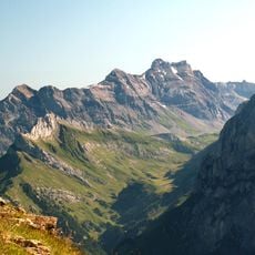
Les Diablerets summit
4.4 km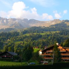
La Para
6.8 km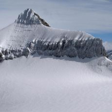
Oldenhorn
1.3 km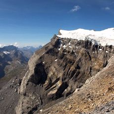
Diablerets Glacier
3.4 km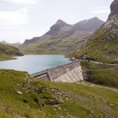
Lake Sénin
6.5 km
Le Tarent
7 km
Mont Gond
7 km
Les Mazots
6.4 km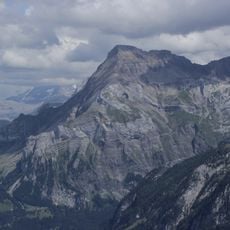
Spitzhorn
8.3 km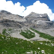
Tête Ronde
4.9 km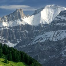
Sanetschhorn
3.9 km
Scierie des Planches
6.9 km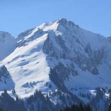
Châtillon
7.4 km
La Fava
6.5 km
Cape au Moine
5.6 km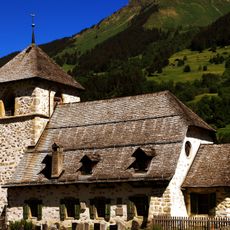
Saint-Théodule
6.6 km
Col du Pillon
1.7 km
La Palette
3.3 km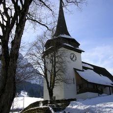
Reformed church with clergy house
6.4 km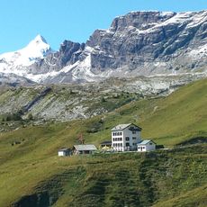
Hotel Col de Sénin
7.1 km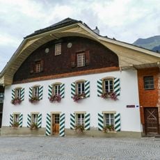
Vers-l'Église, Cure
6.6 km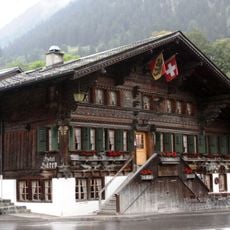
Bären inn
6.5 km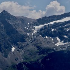
Glacier de Prapio
2.5 km
Municipal archive Vers-L'Eglise
6.5 kmReviews
Visited this place? Tap the stars to rate it and share your experience / photos with the community! Try now! You can cancel it anytime.
Discover hidden gems everywhere you go!
From secret cafés to breathtaking viewpoints, skip the crowded tourist spots and find places that match your style. Our app makes it easy with voice search, smart filtering, route optimization, and insider tips from travelers worldwide. Download now for the complete mobile experience.

A unique approach to discovering new places❞
— Le Figaro
All the places worth exploring❞
— France Info
A tailor-made excursion in just a few clicks❞
— 20 Minutes