La Para, Mountain summit in canton Vaud, Switzerland
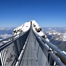
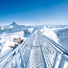
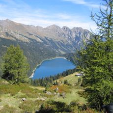
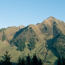
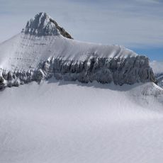
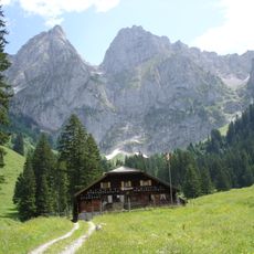
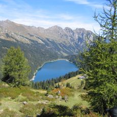
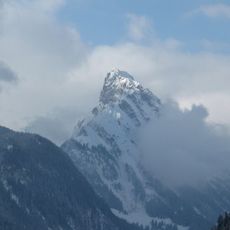
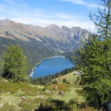
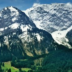
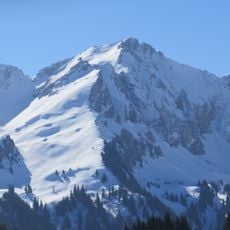
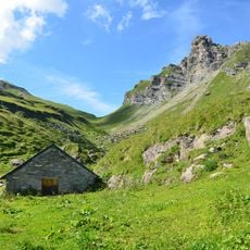
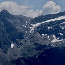
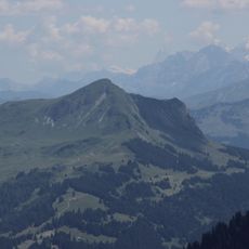
La Para is a mountain summit in the western Bernese Alps reaching 2,540 meters high. The peak rises above Alpine meadows and rock formations that are crossed by several hiking routes.
The peak served as a guide point for shepherds since the 17th century who moved livestock seasonally through Alpine pastures. These traditional grazing routes shaped the hiking paths found in the region today.
The mountain carries two names in local memory, La Tornette and La Pare, and mapmakers added a final -az to both over time. Successive maps record the shift: Tornette on the Dufour map, La Paraz or Tornettaz on the Siegfried map, La Para from 1980 and La Pare since 2004. With Châtillon and Tarent it forms a chain above the Ormonts valley.
Marked trails from the village of Les Diablerets lead to the summit, with most routes requiring about four hours of climbing time. The best time to visit is from June to September when snow-free conditions are reliable.
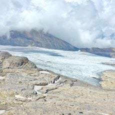
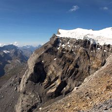
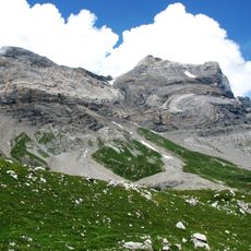
On the north face of the peak, different types of rock meet where limestone intersects with crystalline formations. This visible geological boundary makes the mountain formation noteworthy for those interested in natural geology.
The community of curious travelers
AroundUs brings together thousands of curated places, local tips, and hidden gems, enriched daily by 92,723 contributors worldwide.