
Bim Signal, mountain in Switzerland
Location: Interlaken-Oberhasli administrative district
Elevation above the sea: 2,061 m
GPS coordinates: 46.69169,8.19925
Latest update: March 19, 2025 01:09
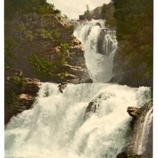
Reichenbach Falls
2.7 km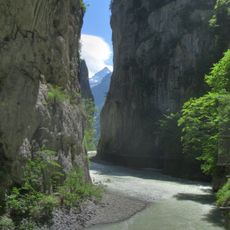
Aare Gorge
3.1 km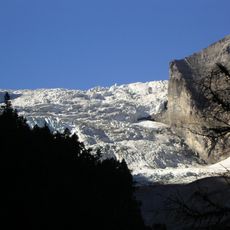
Rosenlaui Glacier
5.8 km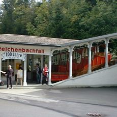
Reichenbachfall railway
3.2 km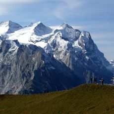
Mittelhorn
8.5 km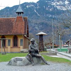
Sherlock Holmes
4.1 km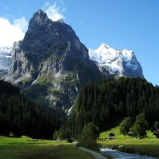
Wellhorn
5.9 km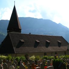
Reformed church with annexes
4.3 km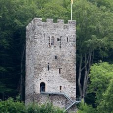
Castle ruin Resti
3.9 km
Rosenhorn
8.2 km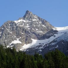
Dossen
5.5 km
Ritzlihorn
7.9 km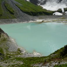
Mattenalpsee
7.3 km
Grosses Engelhorn
2.6 km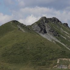
Arnenhorn
3.3 km
Hangendgletscherhorn
7.1 km
Hengsterengletscher
7.4 km
Tschingel
4.7 km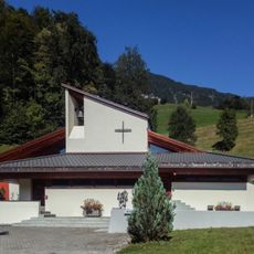
Christophorus chapel
7 km
Käserstatt
7.5 km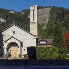
Guthirt
4.3 km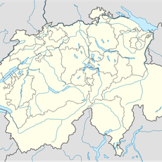
Diga di Mattenalp
7.1 km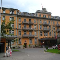
Hotel Sauvage
4 km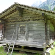
Cheese storage
3 km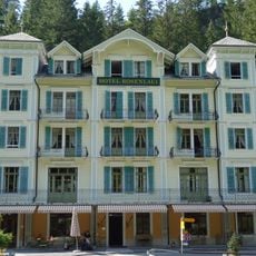
Rosenlaui Hotel
3.7 km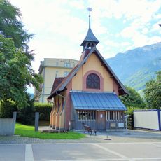
English chapel
4 km
Museum of the Hasli valley community
4.2 km
Sawmill Mühletal
5.7 kmReviews
Visited this place? Tap the stars to rate it and share your experience / photos with the community! Try now! You can cancel it anytime.
Discover hidden gems everywhere you go!
From secret cafés to breathtaking viewpoints, skip the crowded tourist spots and find places that match your style. Our app makes it easy with voice search, smart filtering, route optimization, and insider tips from travelers worldwide. Download now for the complete mobile experience.

A unique approach to discovering new places❞
— Le Figaro
All the places worth exploring❞
— France Info
A tailor-made excursion in just a few clicks❞
— 20 Minutes