
Bira, mountain in Interlaken-Oberhasli administrative district' Switzerland
Location: Interlaken-Oberhasli administrative district
Elevation above the sea: 2,453 m
GPS coordinates: 46.65780,7.96054
Latest update: July 15, 2025 13:09
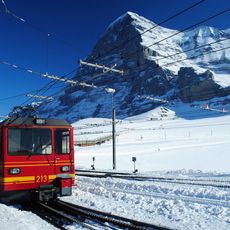
Jungfrau railway
6.8 km
Jungfrau Park
6.2 km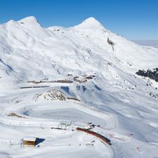
Lauberhorn
7.3 km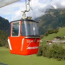
Gondelbahn Grindelwald-Männlichen
5.8 km
Seeburg
6.2 km
Männlichen
4.7 km
Faulhorn
3.5 km
Wengen–Männlichen aerial cableway
5.2 km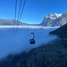
Eiger Express
5.8 km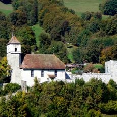
Curch and castle ruin
6.8 km
Reeti
4 km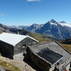
Mountain inn Faulhorn
3.5 km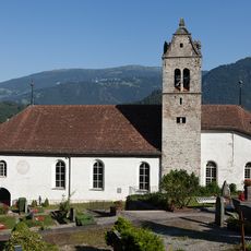
Reformed church with clergy house
6.8 km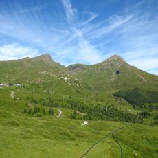
Tschuggen
6.5 km
Gumihorn
4 km
Loucherhorn
2.2 km
Schadburg ruin
7 km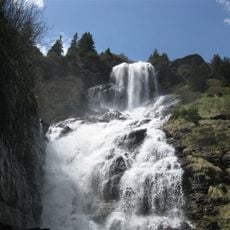
Bachlägerwasserfall
6.5 km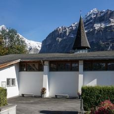
Bruderklausen Church
6.9 km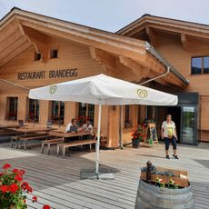
Brandegg
6.6 km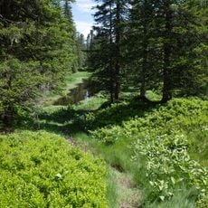
Im Fysteren Graben
7.1 km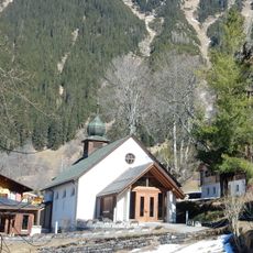
St. Paul's Church
6.5 km
Bönigen
6 km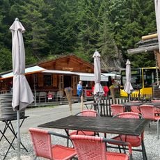
Rasthysi
4.9 km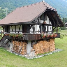
Stöckli
6.9 km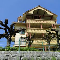
Gentiana staff house
6.5 km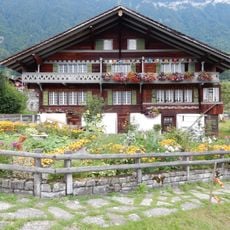
Former farmhouse
6.9 km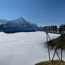
First Cliff Walk
7.1 kmReviews
Visited this place? Tap the stars to rate it and share your experience / photos with the community! Try now! You can cancel it anytime.
Discover hidden gems everywhere you go!
From secret cafés to breathtaking viewpoints, skip the crowded tourist spots and find places that match your style. Our app makes it easy with voice search, smart filtering, route optimization, and insider tips from travelers worldwide. Download now for the complete mobile experience.

A unique approach to discovering new places❞
— Le Figaro
All the places worth exploring❞
— France Info
A tailor-made excursion in just a few clicks❞
— 20 Minutes