
Tanèda, mountain in Switzerland
Location: Vallemaggia District
Elevation above the sea: 2,328 m
GPS coordinates: 46.43853,8.57536
Latest update: April 10, 2025 22:53

Swiss Alps
9 km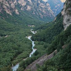
Val Bavona
6.9 km
Forte Airolo
10.1 km
Church of San Giovanni Battista, Mogno
6.8 km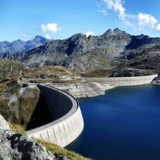
Lago del Narèt
4.3 km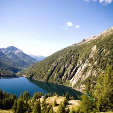
Lago del Sambuco
6.4 km
Sperrstelle San Giacomo
8.7 km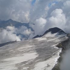
Basòdino
8.7 km
Lago di Robièi
4.5 km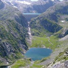
Lago dei Cavagnöö
6 km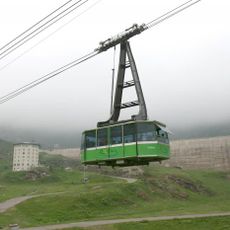
Funivia San Carlo-Robiei
4.7 km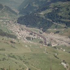
Kraftwerk Airolo
10 km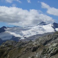
Basòdino Glacier
8 km
Il Madone
6.1 km
Marchhorn
8.7 km
Cristallina
4.2 km
Lago del Zött
5.8 km
Poncione di Braga
2.5 km
Kastelhorn
9.2 km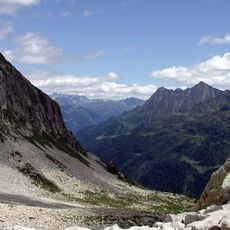
Poncione di Vespero
6.8 km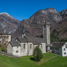
Chiesa di Santa Maria Lauretana
9.5 km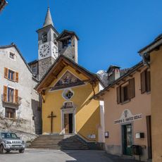
Santa Maria Assunta Church
6.7 km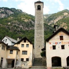
San Martino Church
7.6 km
Fusio
6.8 km
Oratorio di Foroglio
7.6 km
Oratorio di Ritorto
7.7 km
Oratorio di Santa Maria delle Grazie
5.3 km
Rossi House
8.7 kmReviews
Visited this place? Tap the stars to rate it and share your experience / photos with the community! Try now! You can cancel it anytime.
Discover hidden gems everywhere you go!
From secret cafés to breathtaking viewpoints, skip the crowded tourist spots and find places that match your style. Our app makes it easy with voice search, smart filtering, route optimization, and insider tips from travelers worldwide. Download now for the complete mobile experience.

A unique approach to discovering new places❞
— Le Figaro
All the places worth exploring❞
— France Info
A tailor-made excursion in just a few clicks❞
— 20 Minutes