
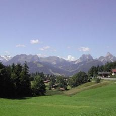
Rellerligrat, mountain in Switzerland
Location: Obersimmental-Saanen administrative district
Elevation above the sea: 1,831 m
GPS coordinates: 46.51132,7.26364
Latest update: July 13, 2025 05:01
Saanenmöser Pass
3 km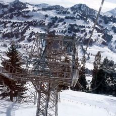
Gondelbahn Rellerli
837 m
Rinderberg
7.2 km
Le Rubli
6.7 km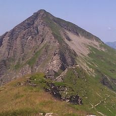
Giferspitz
9.6 km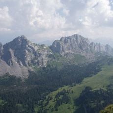
Dent de Savigny
5.1 km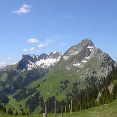
Dent de Brenleire
8.1 km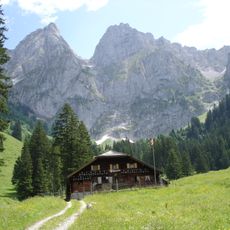
Gummfluh
9.5 km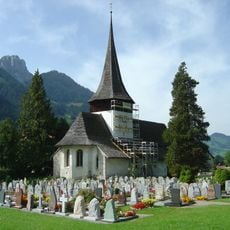
Reformed church Saint-Nicolas de Myre
5.1 km
Dent de Ruth
5.1 km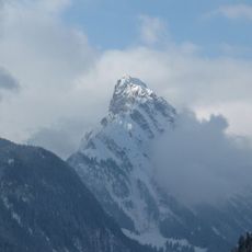
La Videmanette
7.8 km
Hochmatt
7.9 km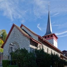
St. Josef church
4.4 km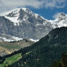
Vanil de l'Ecri
9.3 km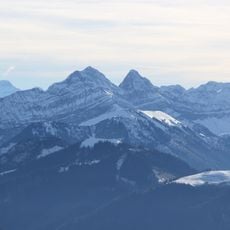
Dent de Folliéran
8.3 km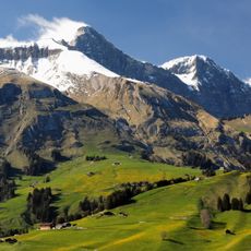
District franc fédéral les Bimis-Ciernes Picat
8.3 km
Reichenstein
6.4 km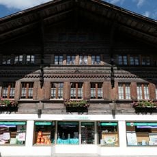
Residential and commercial building
2.4 km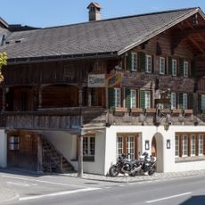
Bären Inn
9.6 km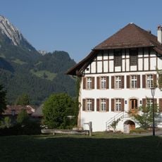
Rectory
2.4 km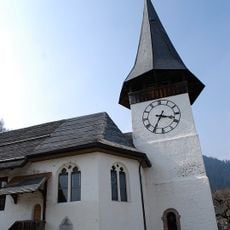
Reformed church with rectory
9.4 km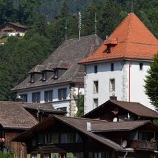
Tower with Amtshaus
2.3 km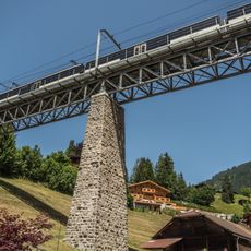
Grubenbach viaduct
4.1 km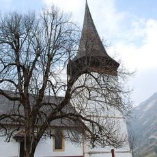
Reformed church
9.3 km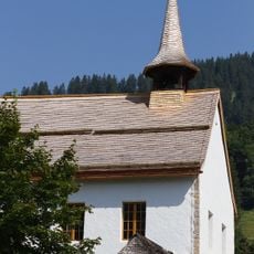
Reformed St. Anna chapel and rectory
2.4 km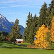
Golfclub Gstaad Saanenland
4.9 km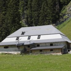
Chalet Le Lapé
6.5 km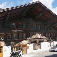
Former double farmhouse
9.5 kmReviews
Visited this place? Tap the stars to rate it and share your experience / photos with the community! Try now! You can cancel it anytime.
Discover hidden gems everywhere you go!
From secret cafés to breathtaking viewpoints, skip the crowded tourist spots and find places that match your style. Our app makes it easy with voice search, smart filtering, route optimization, and insider tips from travelers worldwide. Download now for the complete mobile experience.

A unique approach to discovering new places❞
— Le Figaro
All the places worth exploring❞
— France Info
A tailor-made excursion in just a few clicks❞
— 20 Minutes