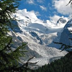
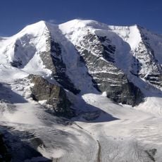
Cambrena Glacier, Alpine glacier in Grisons, Switzerland
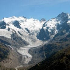
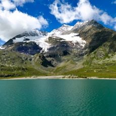
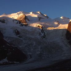
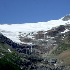
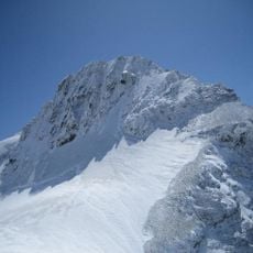
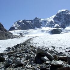
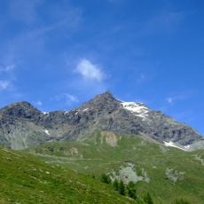
The Cambrena Glacier is a mountain glacier in the Bernina Group of the Swiss Alps in Grisons. In 2009 it was about 2 km long and covered 1.29 km² in 2015. Its accumulation area lies at roughly 3000 to 3300 m below the U-shaped rocky ridge from Piz d'Arlas (3467 m) over Piz Cambrena (3606 m) to Cresta da Caral, and it flows north-northeast down toward Lago Bianco (2234 m).
The Cambrena Glacier had a documented high stand around 400 AD, marked by end moraines, and advanced again in the 17th century, around 1780 and around 1850. Around 1850 its tongue ended roughly 400 m from today's shore of Lago Bianco, about 20 m above the present lake level. Length measurements at the tongue began in 1888–1893 and have run without interruption since 1955; from 2001 to 2022 the glacier lost 330 m.
The glacier's meltwater feeds Lago Bianco, whose name, the White Lake, comes from the pale glacial water. The names Cambrena and Vadret dal Cambrena are used in the local Lombard dialect of Valposchiavo and in Romansh. Since 1955 the length of the glacier tongue has been measured without interruption.
The best access comes from marked paths starting at Bernina Pass, which are easier to navigate during warmer months. Visitors should prepare for alpine conditions since elevation and weather can change rapidly.
The glacier's meltwater feeds Lago Bianco, whose name — the White Lake — comes from the pale colour of that water. The glacier tongue split into two parts already by the time of the earliest photographs (1867, 1873, 1880), and the western part retreated further than the eastern one.
The community of curious travelers
AroundUs brings together thousands of curated places, local tips, and hidden gems, enriched daily by 93,896 contributors worldwide.