Denguélé Region, Administrative region in northwestern Côte d'Ivoire.
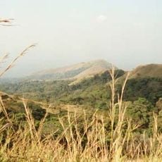
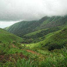
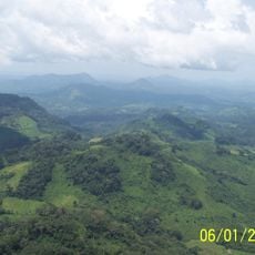
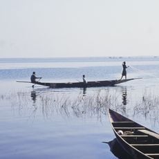
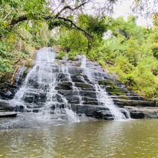
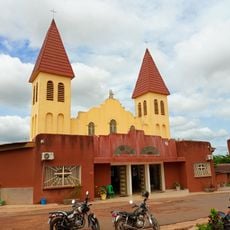
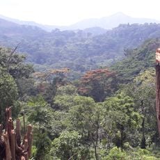
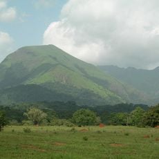
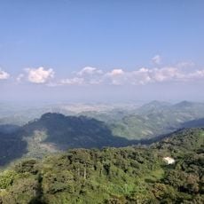
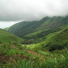
Denguélé Region is located in northwestern Côte d'Ivoire, containing mountains, agricultural areas, and many settlements spread across a large territory. The capital Odienné serves as the main administrative center connecting several departments together.
The region was created in 1997 as an administrative division and was reorganized in 2011 into a larger district system. This restructuring changed how it functions within the country's administrative framework.
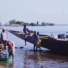
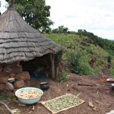
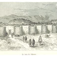
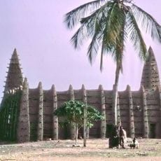
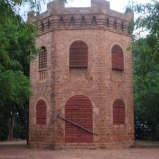
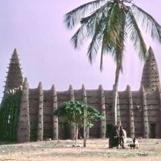
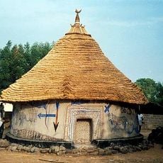
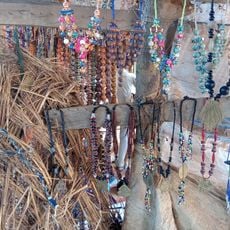
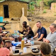
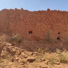
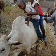
The Malinké people shape daily life here through their craftsmanship, food traditions, and the way communities gather and celebrate together. You will notice their influence in local markets, music, and how spaces are organized throughout the region.
The region is accessible through multiple transportation routes with Odienné serving as the main base for services and supplies. Visitors should be prepared for varying road conditions and consider using local guides to navigate the area.
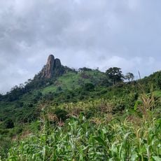
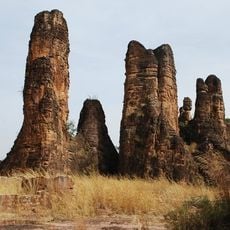
The name Denguélé comes from a single rock formation on Mount Denguélé and means 'only child' in the Malinké language. This geographical feature gave the entire region its distinctive name, something most visitors overlook.
Inception: 1997
Capital city: Odienné
Elevation above the sea: 431 m
Shares border with: Savanes Region, Worodougou, Bafing Region
GPS coordinates: 9.50000,-7.41667
Latest update: December 14, 2025 14:42
Mount Richard-Molard
235.8 km
Mount Nimba Strict Nature Reserve
236.8 km
Sélingué Dam
254.1 km
Mount Tenakourou
259.8 km
Sikasso tata
277.6 km
Marahoué National Park
308 km
Kong mosque
310.8 km
Mont Tonkpi
229 km
Lake Sélingué
252 km
Mamelon
278.5 km
Sudanese style mosques in northern Côte d'Ivoire
310.8 km
Kamablon of Kangaba
292.8 km
Centennial Pavilion
277.5 km
Musée du Camp Soundiata Keita
229.4 km
Les Cascades Naturelles de Man
233.2 km
OAU Memorial Place
277.5 km
Cathedral of Christ the King of Dalo
310.2 km
Singes sacrés de la Foret Sacrée de Gbepleu
232.8 km
Tisserands traditionnels
192.2 km
Mount Richard-Molard
236.8 km
La Dent de Man
227.9 km
Pics de Sindou
279.6 km
Mont Tonkoui
229 km
Reserva Natural Integral del Monte Nimba
234.8 km
Groupe scolaire Ganleu
274.8 km
Campement Dent de Man
229.6 km
Ruines du tata Sikasso
277.1 km
Reserve de la biosphere de ziama
247.5 kmVisited this place? Tap the stars to rate it and share your experience / photos with the community! Try now! You can cancel it anytime.
Discover hidden gems everywhere you go!
From secret cafés to breathtaking viewpoints, skip the crowded tourist spots and find places that match your style. Our app makes it easy with voice search, smart filtering, route optimization, and insider tips from travelers worldwide. Download now for the complete mobile experience.
A unique approach to discovering new places❞
— Le Figaro
All the places worth exploring❞
— France Info
A tailor-made excursion in just a few clicks❞
— 20 Minutes