Marahoué National Park, National park in central-western Côte d'Ivoire
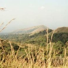
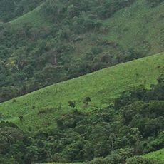
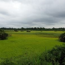
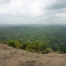
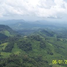
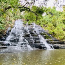
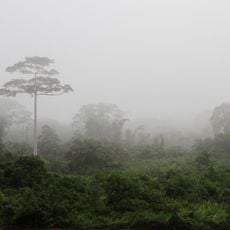
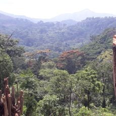
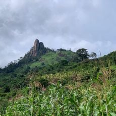
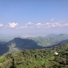
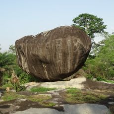
Marahoué National Park covers 1,010 km2 in central Côte d'Ivoire, west of Bouaflé, on the boundary between wooded savanna and humid forest. Its low hills and valleys hold gallery forests along the Marahoué River, forest remnants and savanna with scattered trees. By 2014 primary forest was gone, leaving about 12% secondary forest, 4% gallery forest and 15% farmland.
Marahoué was first made a total wildlife reserve in 1956, then a national park by decree no. 68-80 of 9 February 1968, covering 101,000 hectares. The aim was to conserve the natural environment and biodiversity and to develop tourism potential. By 1975 about 3% of the park had already been taken over by cacao plantations and crops.
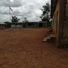
The park lies near the Bouaflé–Daloa road and Lake Kossou, and about 120,738 people live in the surrounding area, many of them farming cacao and food crops. Encroachment for plantations and illegal logging has continued inside the borders since the 1970s, and the Marahoué River, also called the Bandama rouge, forms part of the eastern boundary.
The park lies about 350 km north-west of Abidjan, beside the Bouaflé–Daloa road and near Lake Kossou, with the Marahoué River forming part of its eastern boundary. Access is by road, and the terrain of low hills and valleys makes walking slow. Around 120,738 people live in the surrounding area, so expect farmland and settlements near the edges.
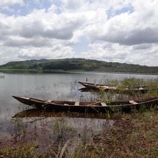
The Marahoué River, also called the Bandama rouge, forms part of the park's eastern boundary; the terrain is low hills cut by valleys. BirdLife International lists the park as an Important Bird Area, with 287 bird species recorded, among them the emerald starling and the black-headed bee-eater.
The community of curious travelers
AroundUs brings together thousands of curated places, local tips, and hidden gems, enriched daily by 94,521 contributors worldwide.