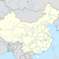
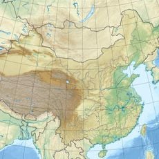
Sichuan Basin, Geographical depression in southwestern China
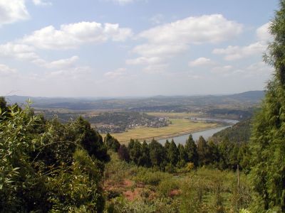
The Sichuan Basin is a large geographical depression in southwestern China featuring red sandstone formations surrounded by mountain ranges. The Yangtze River and its tributaries flow through the basin, creating a significant landscape with important mineral resources including coal, natural gas, and salt.
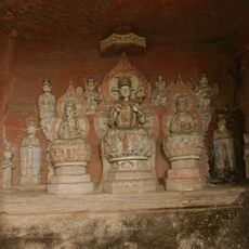
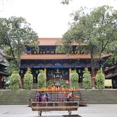
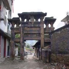
The region was the independent state of Shu in ancient times until the Qin dynasty conquered it in 316 BCE and incorporated it into the Chinese empire. This annexation connected the basin to broader political developments in classical China.
Farmers in the region practice terraced agriculture on hillsides, growing rice and crops on stacked levels that have been shaped over centuries. This farming method remains visible today and shows how people have adapted to the steep terrain around them.
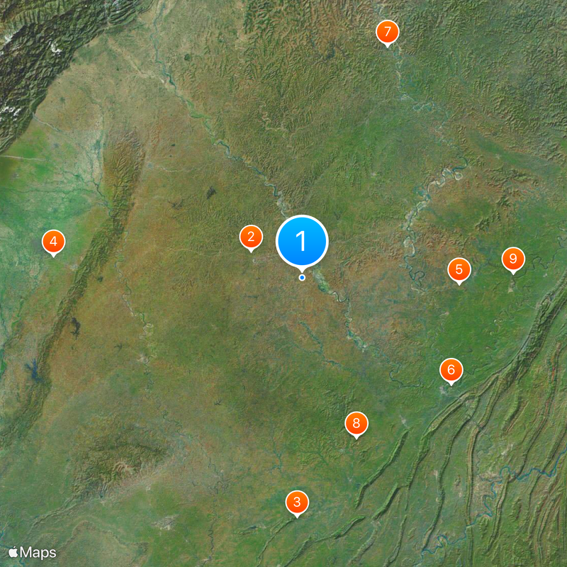
Access to different parts of the basin varies, with some areas easier to navigate than others due to the hilly landscape. The best time to visit is during milder seasons when temperatures are more pleasant and mountain passes are accessible.
The surrounding mountain ranges act as a natural heat trap, keeping winters warmer here compared to other regions at similar latitudes. This microclimate feature has influenced settlement and farming patterns in the area for thousands of years.
The community of curious travelers
AroundUs brings together thousands of curated places, local tips, and hidden gems, enriched daily by 60,000 contributors worldwide.