Lam Tsuen Country Park, Mountain park in New Territories, Hong Kong.
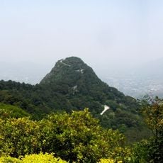
Lam Tsuen Country Park is a 1,520-hectare country park in the northern New Territories, designated on 23 February 1979. Fan Kam Road divides it into two parts: the Kai Kung Leng range, whose main peak Kwai Kok Shan reaches 585 metres, and the Tai To Yan range, rising to 566 metres at Tai To Yan. The park spans Tai Po, North and Yuen Long districts, and its high ground looks over the Yuen Long Plain and Lam Tsuen Valley.
Lam Tsuen Country Park was designated on 23 February 1979, named after the nearby Lam Tsuen valley. It covers 1,520 hectares across Tai Po, North and Yuen Long districts, and Fan Kam Road splits it into two sections. The Pak Tai To Yan Special Area lies within its boundaries.
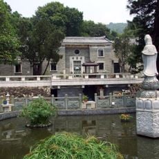
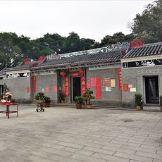
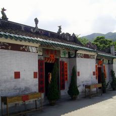
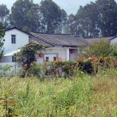
The park takes its name from the nearby Lam Tsuen valley, whose villages lie just outside its boundary. Within the park, the Sam Tin Liying School is cited as a rare surviving example of a traditional Chinese village school, and visitors can look around it to learn about schooling in the region. The park also covers the Yuen Long Plain and Lam Tsuen Valley, farmland landscapes that visitors pass on the approach.
The trails require good physical fitness and experience with mountain terrain, especially on steep sections where metal chains assist climbers. Come prepared with proper footwear and allow enough time to explore safely.
The park is split by Fan Kam Road into two separate ridge systems: the Kai Kung Leng range, whose main peak is 585 m, and the Tai To Yan range, whose highest point is 566 m. The Kai Kung Leng section has no picnic or visitor facilities at all, which makes its climbs harder.
The community of curious travelers
AroundUs brings together thousands of curated places, local tips, and hidden gems, enriched daily by 93,847 contributors worldwide.