
杨家桥街道, Straßenviertel in der Volksrepublik China
Location: Lengshuitan District
GPS coordinates: 26.44767,111.58314
Latest update: March 29, 2025 01:19

Longsheng Rice Terrace
164.2 km
Lingqu
130.4 km
Mount Kitten
133.7 km
Grand Temple of Mount Heng
144.6 km
Mount Langshan
83.1 km
Tseng Kuo-fan's Former Residence
141.9 km
Ping Island
21.9 km
祝融殿
144.3 km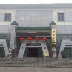
Hengyang Museum
114 km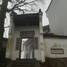
Fuyan Temple
143.4 km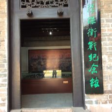
衡阳保卫战纪念馆
107.6 km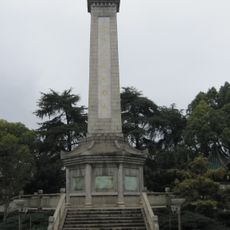
衡阳抗日英雄纪念碑
113.3 km
Nantai Temple
143.7 km
Shangfeng Temple
145.1 km
Zhusheng Temple
144.7 km
Yangmingshan National Forest Park
55.8 km
Liuzi Temple
25.2 km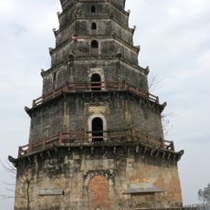
Laiyan Pagoda
116.1 km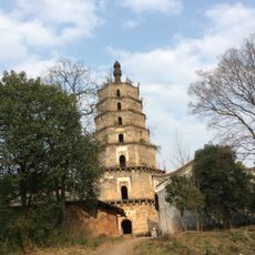
Zhuhui Pagoda
121.4 km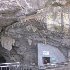
Boyue Cave
141 km
Hunan Yongzhou No.1 High School
23.3 km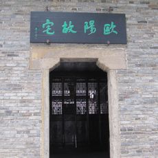
Former Residence of Ouyang's Family
114.6 km
Museum of Birthplace of Wang Fuzhi
114 km
Guangji Temple (Hunan)
147.3 km
Shima Park
150.4 km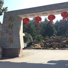
南郊公园
113.6 km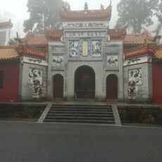
Xuandu Temple
144.2 km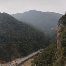
Longshan National Forest Park
122.2 kmReviews
Visited this place? Tap the stars to rate it and share your experience / photos with the community! Try now! You can cancel it anytime.
Discover hidden gems everywhere you go!
From secret cafés to breathtaking viewpoints, skip the crowded tourist spots and find places that match your style. Our app makes it easy with voice search, smart filtering, route optimization, and insider tips from travelers worldwide. Download now for the complete mobile experience.

A unique approach to discovering new places❞
— Le Figaro
All the places worth exploring❞
— France Info
A tailor-made excursion in just a few clicks❞
— 20 Minutes