
珠街彝族乡
Location: Changning County, Yunnan
GPS coordinates: 25.09079,99.97546
Latest update: March 7, 2025 09:56
Yanghe Pagoda
67.9 km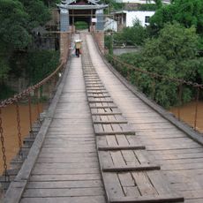
云龙桥
64.3 km
Chongsheng Temple
64.6 km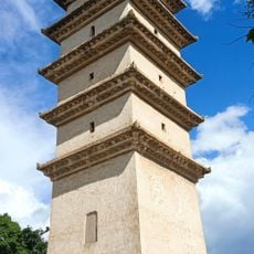
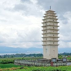
Beichuan Pagoda
67.8 km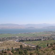
Taihe City
64.7 km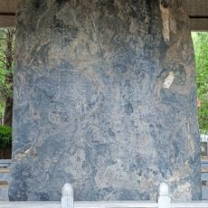
Nanzhao Dehua Stele
64.6 km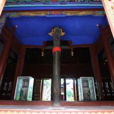
Iron Column of Nanzhao
54.3 km
Dali Bai Autonomous Prefecture Museum
62.3 km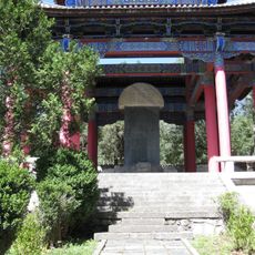
Stele of Kublai Khan occupied Yunnan
69.4 km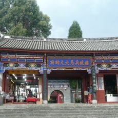
The Headquarters of General Du Wenxiu
69.5 km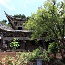
Changchun Cave
38.2 km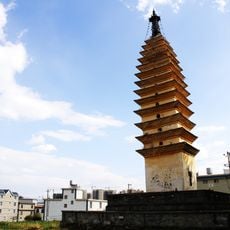
Pagoda of Fotu Temple
62.9 km
Museum of Dali City
69.5 km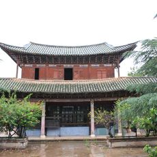
Ancient buildings in Nanzhao Town
37.3 km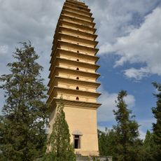
Pagoda of Hongsheng Temple
69 km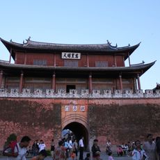
Gongchen Tower
36.9 km
Jifei Xiang
2263.1 km
Fazang Temple
61.2 km
日本四僧塔
68.1 km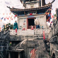
Guanyin Temple
66.2 km
Dongyue Temple
37.4 km
Xinggong Pavilion
36.9 km
Former People's Government Office Building of Dali Prefecture
60.2 km
Cangshan Botanical Garden
65.9 km
Gantong Temple
64.7 km
Weishan Confucian Temple
36.8 km
Fengyi Confucian Temple
64.5 km
Qingbi River Cliff Inscriptions
64 kmReviews
Visited this place? Tap the stars to rate it and share your experience / photos with the community! Try now! You can cancel it anytime.
Discover hidden gems everywhere you go!
From secret cafés to breathtaking viewpoints, skip the crowded tourist spots and find places that match your style. Our app makes it easy with voice search, smart filtering, route optimization, and insider tips from travelers worldwide. Download now for the complete mobile experience.

A unique approach to discovering new places❞
— Le Figaro
All the places worth exploring❞
— France Info
A tailor-made excursion in just a few clicks❞
— 20 Minutes