
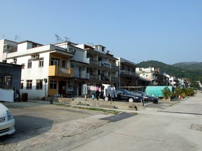
Tai Po Tau Drive, Street in Hong Kong
Location: Tai Po District
Location: Hong Kong
GPS coordinates: 22.45407,114.15739
Latest update: September 23, 2025 12:57
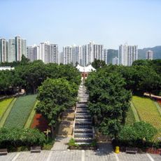
Tai Po Waterfront Park
3.2 km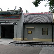
Hong Kong Railway Museum
915 m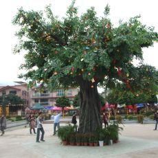
Lam Tsuen wishing trees
1.5 km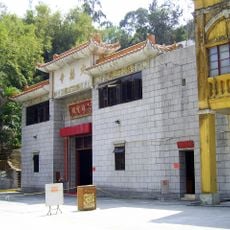
Ting Wai Monastery
1.5 km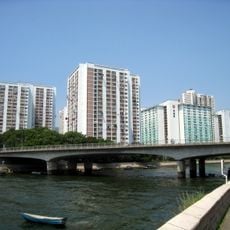
Kwong Fuk Estate
1.9 km
Wan Tau Tong Estate
1.7 km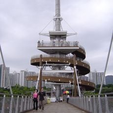
Tai Po Lookout Tower
2.4 km
Man Mo Temple
922 m
Old Tai Po Police Station
1.6 km
Mui Shue Hang Playground
505 m
Kwong Fuk Bridge
876 m
Old District Office North
1.7 km
Cloudy Hill
2.8 km
Pun Chun Yuen
976 m
Remains of Pottery Kiln, Wun Yiu Village
2.3 km
Tin Hau Temple, Tai Po Kau Hui
856 m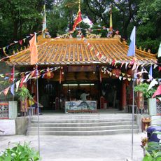
Tai Wong Yeh Temple
2.3 km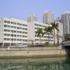
Tai Po Government Offices
798 m
Ng Tung Chai Waterfall
3.7 km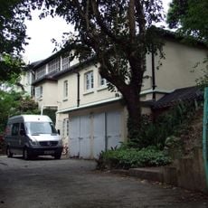
Island House
2.4 km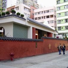
Sing Kung Cho Tong
823 m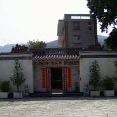
Fan Sin Temple
2 km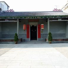
King Law Ka Shuk
71 m
Tai Po Public Library
1.3 km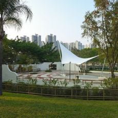
Yuen Chau Tsai Park
2.2 km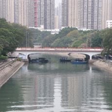
Po Heung Bridge
1.1 km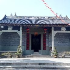
Man Ancestral Hall, Tai Hang (Tai Po)
2 km
Fung Loi Leung Yuen
2.8 kmReviews
Visited this place? Tap the stars to rate it and share your experience / photos with the community! Try now! You can cancel it anytime.
Discover hidden gems everywhere you go!
From secret cafés to breathtaking viewpoints, skip the crowded tourist spots and find places that match your style. Our app makes it easy with voice search, smart filtering, route optimization, and insider tips from travelers worldwide. Download now for the complete mobile experience.

A unique approach to discovering new places❞
— Le Figaro
All the places worth exploring❞
— France Info
A tailor-made excursion in just a few clicks❞
— 20 Minutes