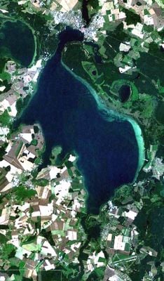
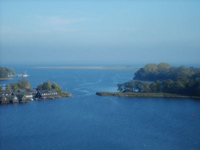
Müritz, Glacial lake in Mecklenburgische Seenplatte District, Germany.
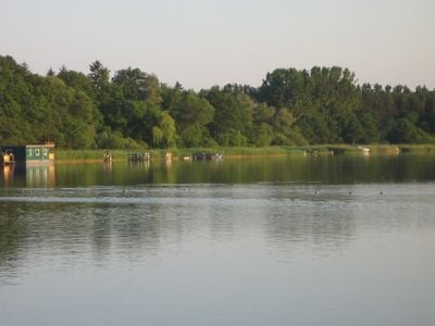
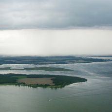
The Müritz covers an area of 117 square kilometers and reaches a depth of 31 meters (102 feet) at its deepest point. The body of water sits within a region of numerous smaller lakes and connects to the surrounding water system through natural channels.
The basin formed during the last ice age through glaciers that shaped the land. Water levels stood at 60.5 meters (198 feet) in the 12th century and were artificially raised to 62 meters (203 feet) in 1836.
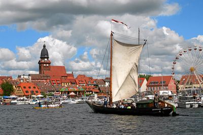
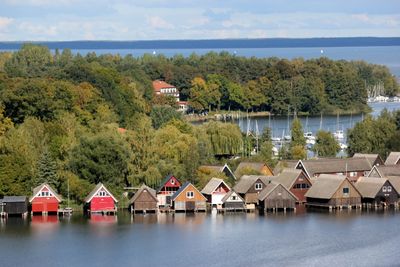
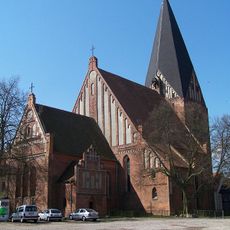
The name comes from Slavic and means little sea, reflecting how earlier inhabitants perceived this body of water. Fishermen still sell their catch directly at the shore in nearby communities, where visitors can buy fresh European whitefish and pike.
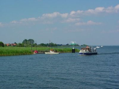
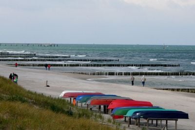
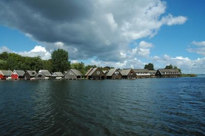
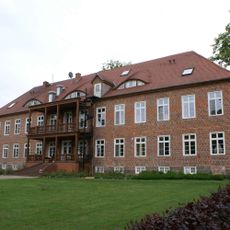
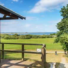
Several towns along the shore offer docking points for private boats and public bathing areas with shallow shore zones. The region is easily reachable by car and hiking trails lead through surrounding forests down to the water.
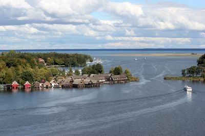
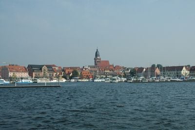
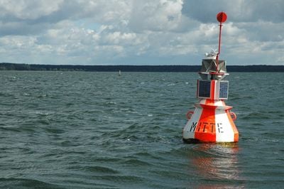
The section called Binnenmüritz near Waren forms an almost separate body of water connected to the main basin only through a narrow passage. At this spot the water reaches its greatest depth and offers a quiet area away from the busier shore zones.
The community of curious travelers
AroundUs brings together thousands of curated places, local tips, and hidden gems, enriched daily by 60,000 contributors worldwide.