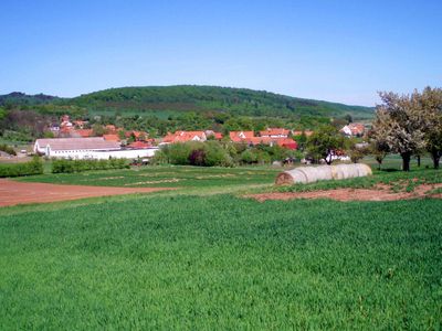
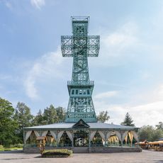
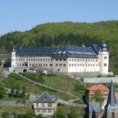
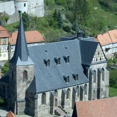
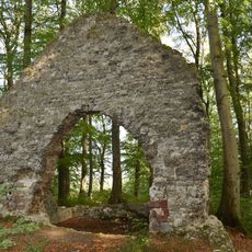
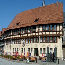
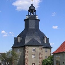
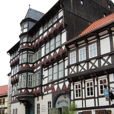
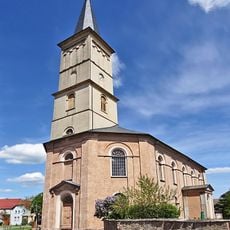
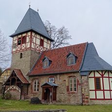
Südharz, municipality in the Mansfeld-Südharz district, Saxony-Anhalt, Germany
Location: Mansfeld-Südharz
Elevation above the sea: 145 m
Shares border with: Sangerhausen, Wallhausen
Website: http://gemeinde-suedharz.de
GPS coordinates: 51.48333,11.06667
Latest update: March 4, 2025 15:13
Joseph Cross
11.6 km
Stolberg Castle
12.8 km
Heimkehle
7.9 km
South Harz Karst Landscape Biosphere Reserve
7.2 km
Birnbaumteich
14.7 km
Großer Auerberg
11.6 km
Glasebach Pit
14.4 km
Schloss Roßla
2.6 km
Burg Questenberg
3.9 km
St. Trinitatis (Roßla)
2.6 km
Rentamt
2.6 km
Teufelsteich
15.8 km
St. Martini (Stolberg)
12.7 km
Gipskarstlandschaft Questenberg
4.5 km
Thyratalbrücke
5.3 km
Questenbaum
3.7 km
Grasburg
10 km
Rathaus Stolberg (Harz)
12.7 km
St. Cyriaci und Nicolai
9.1 km
Kiliansteich
13.9 km
Old Mint
12.5 km
Wanderausgangspunkt Straßberg-Gh. Bergschänke
15 km
St. Johannes
4.5 km
Questenberger Roland
3.8 km
St.-Marien-und-Anna-Kirche
2.6 km
Wolfsdenkmal
4.2 km
St. Margaretha
3.1 km
Saint George Chapel
12.5 kmReviews
Visited this place? Tap the stars to rate it and share your experience / photos with the community! Try now! You can cancel it anytime.
Discover hidden gems everywhere you go!
From secret cafés to breathtaking viewpoints, skip the crowded tourist spots and find places that match your style. Our app makes it easy with voice search, smart filtering, route optimization, and insider tips from travelers worldwide. Download now for the complete mobile experience.
A unique approach to discovering new places❞
— Le Figaro
All the places worth exploring❞
— France Info
A tailor-made excursion in just a few clicks❞
— 20 Minutes