Steinheim, Administrative district in North Rhine-Westphalia, Germany
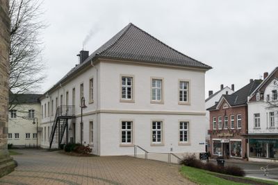
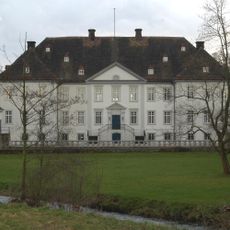
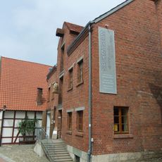
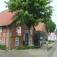
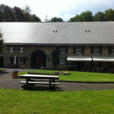
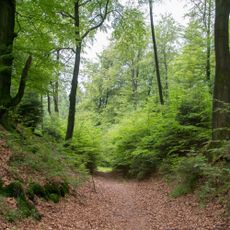
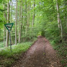
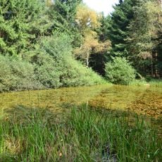
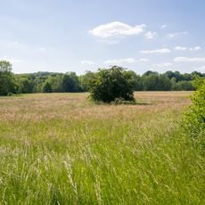
Steinheim is a municipality in Höxter district in North Rhine-Westphalia with several neighborhoods including Bergheim, Eichholz, and Grevenhagen. The area combines residential zones with surrounding countryside and open green spaces typical of the region.
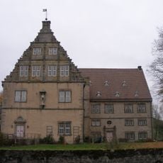
The municipality developed over centuries as a rural settlement and was shaped by modern administrative reforms in Germany. Today's municipal boundaries and administrative structure came about through various consolidations and organizational changes.
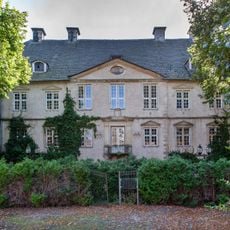
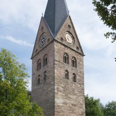
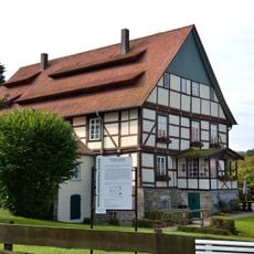
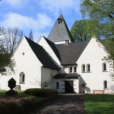
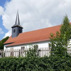
The community draws on traditional Westphalian customs that continue through local celebrations and gatherings throughout the year. Visitors can experience this local identity in neighborhoods like Bergheim and Eichholz, where community life centers around shared public spaces.
The municipality is well connected by established road networks to neighboring regions and is easy to explore with local transportation. The best times to visit are spring and fall, when weather is mild and local events take place.
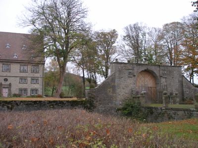
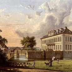
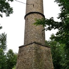
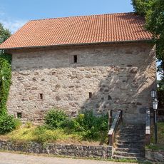
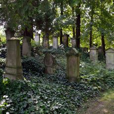
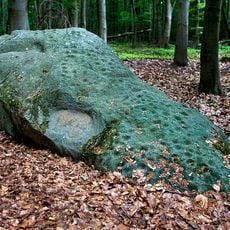
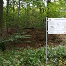
The area sits in a region with a rich mining and quarrying heritage, and several old stone workings still mark the landscape. These historical extraction sites reveal how industry once shaped the territory in past centuries.
The community of curious travelers
AroundUs brings together thousands of curated places, local tips, and hidden gems, enriched daily by 60,000 contributors worldwide.