Enable Location

We need your location to show you interesting places around you

Discover nearby places

Find interesting locations and hidden gems around you

Precise directions

Get accurate directions and distances to places

Your location is never shared with other users. It's only used when you tap the location button.

Log in to your account

Start exploring — it's free

Trusted by 62,847 travelers worldwide

Continue with Google
Continue with Apple
or

We will send you a code to connect

By continuing, you accept our Terms and Conditions and our Privacy Policy

Check your inbox

We've sent a pincode in your inbox. Please enter the code below.

Höxter, Administrative district in North Rhine-Westphalia, Germany.

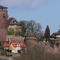
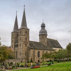
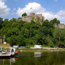
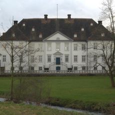
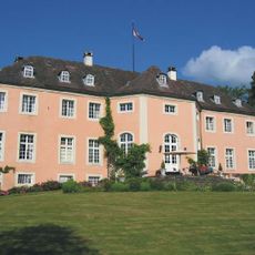
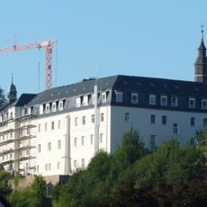
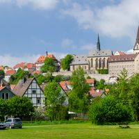
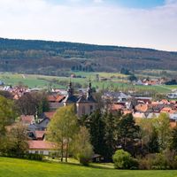
Höxter is a rural district in eastern North Rhine-Westphalia located between the Teutoburg Forest and the Weserbergland hills. It comprises ten towns and municipalities, with the main district administration centered in the town of Höxter.

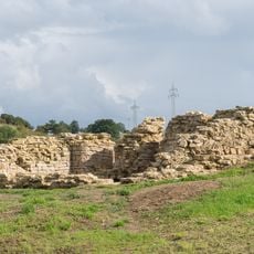
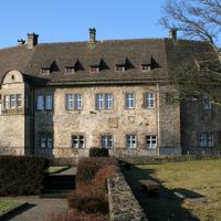
The district took its current form in 1975 through the merger of three historical Prussian administrative divisions: Höxter, Brakel, and Warburg. This consolidation established the basis for today's regional governance structure.

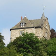
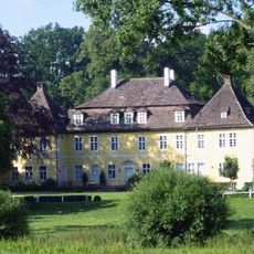
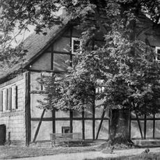
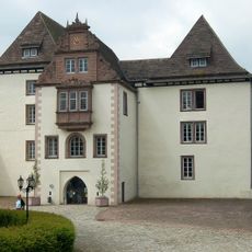
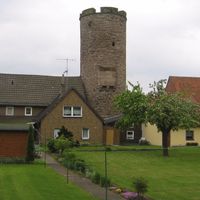
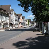
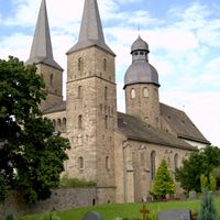
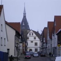
Each of the ten municipalities maintains its own local government and organizes regular community events that reflect regional customs. The towns and villages today still show distinct identities rooted in their separate histories before consolidation.

The area is accessible from different points depending on which town or municipality you are visiting. Since this is an administrative region rather than a single destination, it helps to plan visits based on specific towns or attractions that interest you.

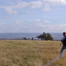
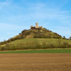
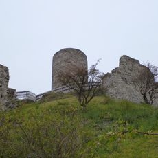
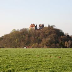
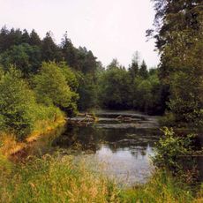
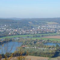
The Köterberg, at 496 meters the highest peak in the district, offers sweeping views across the entire region. Most visitors overlook this accessible vantage point despite its commanding perspective over the landscape.

The community of curious travelers

AroundUs brings together thousands of curated places, local tips, and hidden gems, enriched daily by 60,000 contributors worldwide.

Start exploring
Inception
1975
Capital city
Höxter
Elevation above the sea
193 m
Shares border with
Lippe, Holzminden, Northeim, Paderborn, Hochsauerlandkreis, Waldeck-Frankenberg, Landkreis Kassel
Phone
GPS coordinates
51.66667,9.25000
Latest update
December 17, 2025 08:36
« Höxter - Administrative district in North Rhine-Westphalia, Germany » is provided by Around Us (aroundus.com). Images and texts are derived from Wikimedia project under a Creative Commons license. You are allowed to copy, distribute, and modify copies of this page, under the conditions set by the license, as long as this note is clearly visible.

Discover hidden gems everywhere you go!

From secret cafés to breathtaking viewpoints, skip the crowded tourist spots and find places that match your style. Our app makes it easy with voice search, smart filtering, route optimization, and insider tips from travelers worldwide. Download now for the complete mobile experience.

Around Us App Screenshot

A unique approach to discovering new places

Le Figaro

All the places worth exploring

France Info

A tailor-made excursion in just a few clicks

20 Minutes

Around Us
Travel Guide & Maps
Download

Send to your phone

QR Code
1

Open the camera app on your mobile.

2

Point at the QR code with your camera. A notification will appear.

3

Tap the notification to open the link.