Leopoldshöhe, municipality of Germany
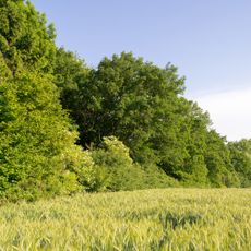
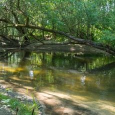
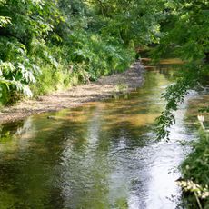
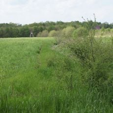
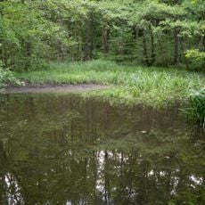
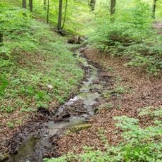
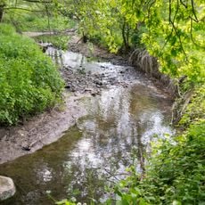
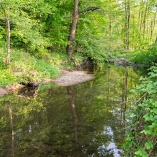
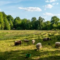
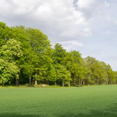
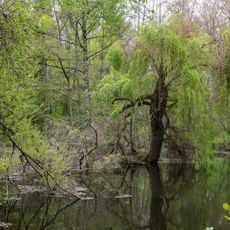
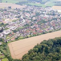
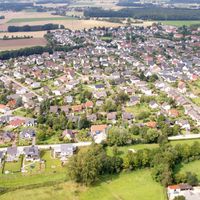
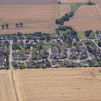
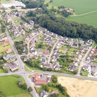
Leopoldshöhe is a small municipality in the Lippe district of Germany, formed in 1969 from eight separate villages that were united into one community. The landscape features open fields, meadows, and woodlands crossed by roads and paths connecting various neighborhoods such as Asemissen, Bechterdissen, and Krentrup.
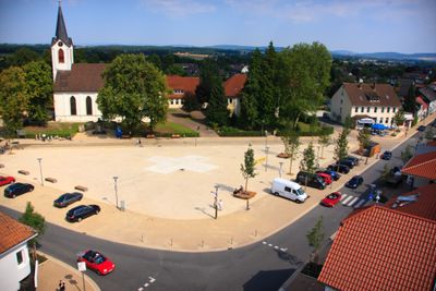
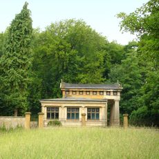
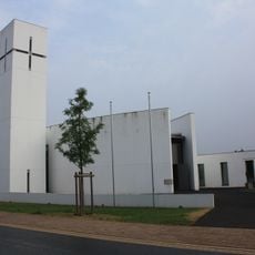
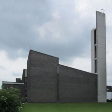
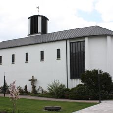
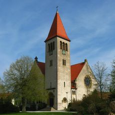
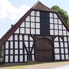
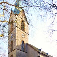
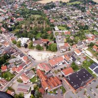
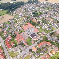
The village center was named in 1850 when Prince Leopold II laid the foundation stone of the church, which still defines the local landscape today. The present municipality was formed in 1921 from parts of the villages Greste and Hovedissen, before it merged with seven other places in 1969 to create the modern municipality of Leopoldshöhe.
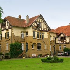
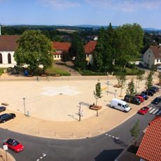
The village took its name from Prince Leopold II, who laid the church's foundation stone in 1850, and this connection remains central to local identity. In the town center, residents gather at small shops and cafes where neighbors interact and community life unfolds.
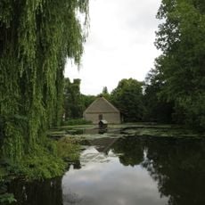
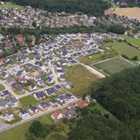
The town center is easily accessible on foot and offers small shops, cafes, and basic services for everyday needs. Walkers and cyclists find well-maintained paths through the surrounding landscape that suit families and shorter outings alike.
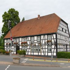
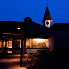
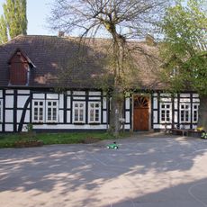
By the 1920s, over 120 houses were already registered in the community, with shops, doctors, and a pharmacy in the town center that formed the backbone of economic life. This infrastructure has been preserved, showing how the municipality maintained its historical roots as a small service center for the surrounding farmland.
The community of curious travelers
AroundUs brings together thousands of curated places, local tips, and hidden gems, enriched daily by 60,000 contributors worldwide.