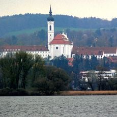
Ammersee, Glacial lake in Upper Bavaria, Germany
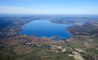
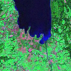
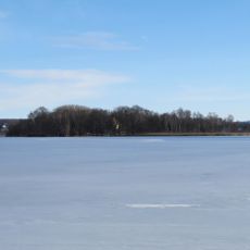
This glacial body of water stretches over 47 square kilometers in Upper Bavaria and ranks as Germany's sixth largest freshwater expanse, with a depth reaching 81 meters. The eastern shoreline shows many public entry points and small communities, while the western edge is lined with wide reed beds and areas left in their natural state.
The basin formed during the last ice age when a glacier carved out this depression and retreated. Celtic traders built routes through the region to move amber from the north across the Brenner Pass toward the south.
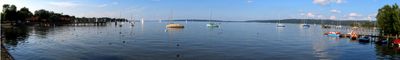
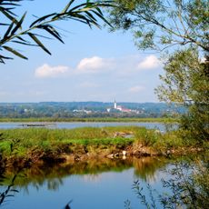
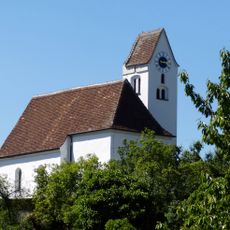
The name comes from the Ammer River, which feeds the waters from the south and has shaped the region for centuries. Many residents in the villages nearby walk along the shore paths, while sailboats cross the surface in summer and help define the look of the landscape.
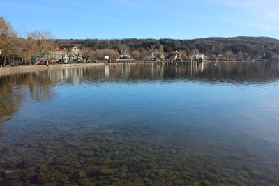
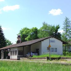
The eastern side offers many public bathing spots and boat docks that remain easy to reach even on warm summer days. The western side stays mostly undeveloped and works better for quiet walks along the shore paths, without much infrastructure or crowds.
In the depths lives the Ammersee kilch, a fish form found only here and nowhere else in the world. Underwater also lie remains of prehistoric settlements that give archaeologists fresh insights into early ways of life.
The community of curious travelers
AroundUs brings together thousands of curated places, local tips, and hidden gems, enriched daily by 60,000 contributors worldwide.