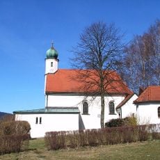
Arnbruck, municipality of Germany
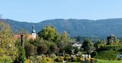
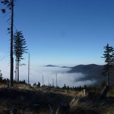
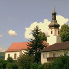
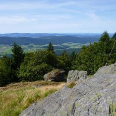
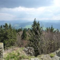
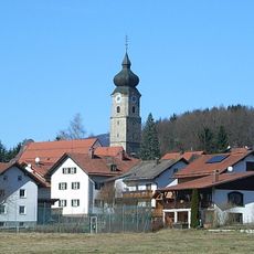
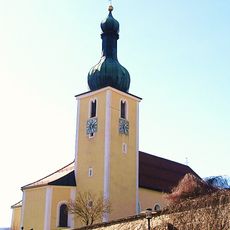
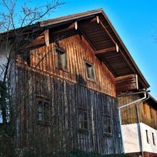
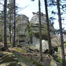
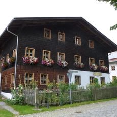
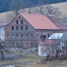
Arnbruck is a small municipality in the Regen district with traditional wooden and stone houses set among green hills and forests. The settlement sits at about 1,900 feet (580 meters) elevation and consists of quiet streets with scattered farms, craft workshops, and a small village center.
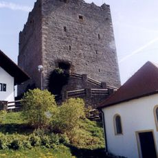
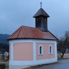
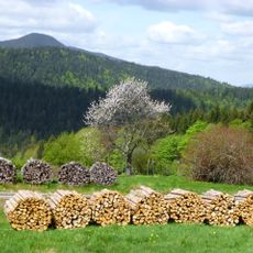
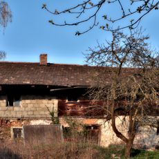
Arnbruck has roots going back many centuries, with its population long living as farmers and craftspeople deeply connected to the land. The place developed as a quiet community that has preserved its simple ways of life and local customs to this day.
Arnbruck keeps alive the traditions of Bavarian Forest farmers passed down through families. You see this in local celebrations, traditional craftsmanship, and how residents maintain their homes and farmsteads.
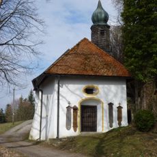
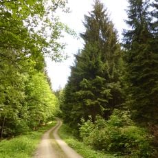
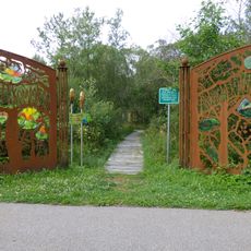
Arnbruck is easy to explore on foot or by bicycle since most village places are centrally located and paths are well marked. Public transport is limited, so having your own car or bicycle is advisable for a more comfortable visit.
The glassmaking craft of the nearby Weinfurtner Glass Village is a heritage that visitors can observe in workshops where artisans have shaped glass for generations. The Panoramabad offers a surprising retreat with swimming pools set amid the forested landscape.
The community of curious travelers
AroundUs brings together thousands of curated places, local tips, and hidden gems, enriched daily by 60,000 contributors worldwide.