Enable Location

We need your location to show you interesting places around you

Discover nearby places

Find interesting locations and hidden gems around you

Precise directions

Get accurate directions and distances to places

Your location is never shared with other users. It's only used when you tap the location button.

Mühlriegel

Log in to your account

Start exploring — it's free

Trusted by 63,118 travelers worldwide

Continue with Google
Continue with Apple
or

We will send you a code to connect

By continuing, you accept our Terms and Conditions and our Privacy Policy

Check your inbox

We've sent a pincode in your inbox. Please enter the code below.

Mühlriegel
Discussion Reviews 1 Photos
700+ Popularity

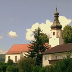
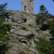
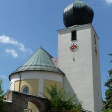
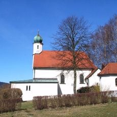
Mühlriegel, Mountain summit in Bavarian Forest, Germany

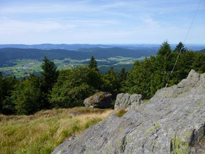
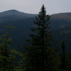
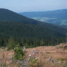
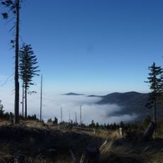
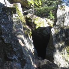
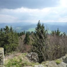
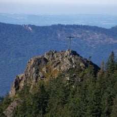
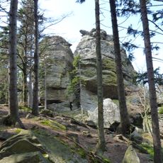
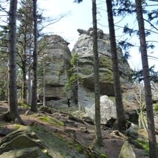
Mühlriegel is a mountain summit in the Bavarian Forest, rising to approximately 1080 meters with dense evergreen forest covering its slopes. The peak sits amid a network of marked hiking trails that connect various starting points in the region.

The area surrounding the mountain served as a boundary marker during the medieval period, helping local communities define territorial divisions for forestry management. This geographical significance shaped the region for centuries.

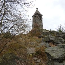
The mountain contains several designated stations along the Eight-Thousanders trail system, where hikers collect stamps for traditional Bavarian hiking certificates.

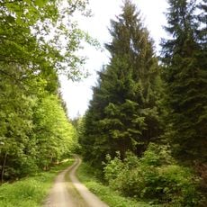
Multiple marked trails of varying difficulty lead to the summit, with routes ranging from moderate to challenging ascents through the forest. Bring weather-appropriate clothing and sturdy footwear, as the forest ground can become muddy after rain.

On clear days, visitors can observe both the Grosser Arber and Kaitersberg mountains from multiple vantage points around the summit. These expansive views reveal the scale of the forest landscape and explain why the location has served as a landmark for so long.

The community of curious travelers

AroundUs brings together thousands of curated places, local tips, and hidden gems, enriched daily by 60,000 contributors worldwide.

Start exploring
Location
Elevation above the sea
1,080 m
GPS coordinates
49.15698,13.01491
Latest update
December 14, 2025 20:01
Reviews
Share your experience

No review yet

Discussions
Start a discussion...

No discussion yet

« Mühlriegel - Mountain summit in Bavarian Forest, Germany » is provided by Around Us (aroundus.com). Images and texts are derived from Wikimedia project under a Creative Commons license. You are allowed to copy, distribute, and modify copies of this page, under the conditions set by the license, as long as this note is clearly visible.

Discover hidden gems everywhere you go!

From secret cafés to breathtaking viewpoints, skip the crowded tourist spots and find places that match your style. Our app makes it easy with voice search, smart filtering, route optimization, and insider tips from travelers worldwide. Download now for the complete mobile experience.

Around Us App Screenshot

A unique approach to discovering new places

Le Figaro

All the places worth exploring

France Info

A tailor-made excursion in just a few clicks

20 Minutes

Around Us
Travel Guide & Maps
Download

Send to your phone

QR Code
1

Open the camera app on your mobile.

2

Point at the QR code with your camera. A notification will appear.

3

Tap the notification to open the link.