Enzian, Mountain summit in Bavarian Forest, Germany
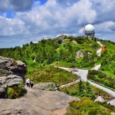
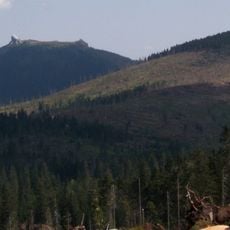
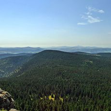
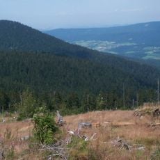
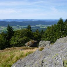
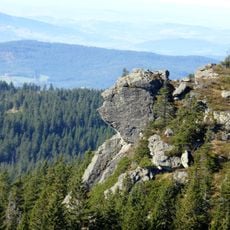
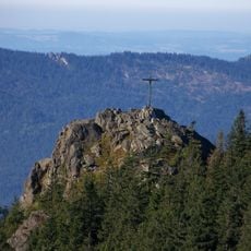
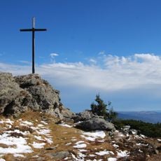
The Enzian is a 1,285 m high mountain of the Bavarian Forest, rising on the ridge northwest of the Arber. Its bare, flat summit lies on the boundary between the counties of Cham and Regen, with Lohberg to the north and Drachselsried to the west-southwest. The E6 long-distance path crosses the top from the Arber to the Kaitersberg.
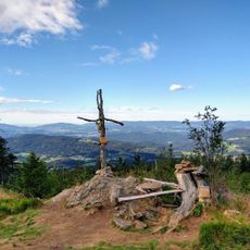
The Enzian lies on the border between the counties of Cham and Regen, with Lohberg to the north and Drachselsried to the west-southwest. The E6 European long-distance path from the Arber to the Kaitersberg crosses its bare, flat summit, where a checkpoint and summit register stand at the highest point. It is almost never climbed as a destination on its own.
German mountaineers regularly place their names in the summit register located at the mountain peak, following a local custom of documenting ascents.
The Enzian is crossed by the E6 European long-distance path running from the Arber to the Kaitersberg, which passes over its bare, flat summit. It is almost never climbed as a destination on its own, so it is usually reached as part of a walk along the Arber ridge. The highest point holds a checkpoint and a summit register.
The Enzian is almost never climbed as a destination on its own; most people cross its bare, flat summit while walking the E6 long-distance path from the Arber to the Kaitersberg. A checkpoint stamp and a summit register sit at the highest point.
The community of curious travelers
AroundUs brings together thousands of curated places, local tips, and hidden gems, enriched daily by 94,637 contributors worldwide.