Schwarzeck, Mountain and monumental cross in Upper Palatinate, Bavaria, Germany.
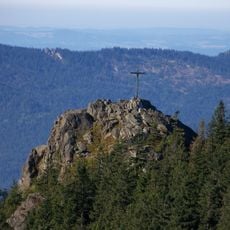
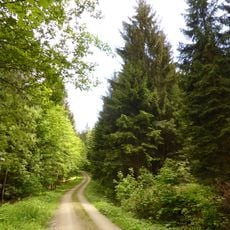
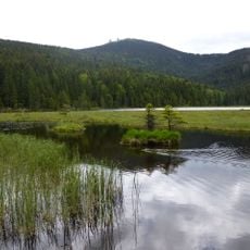
Schwarzeck rises to approximately 1.236 meters and is crowned by a large summit cross visible from afar. Multiple walking trails ascend the mountain, passing through woodland and open areas that offer views across the surrounding landscape.
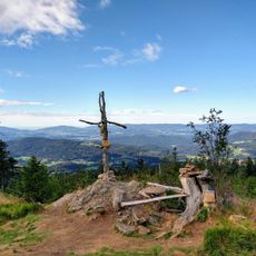
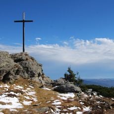
The Schwarzeck is a 1235.8 m high mountain in the Arber ridge of the Bavarian Forest, between the Heugstatt and the Ödriegel. Its summit lies on the municipal boundary of Lohberg and Arnbruck, and thus also on the border between the districts of Cham and Regen. In 1970 a summit cross was erected on the main peak; it was renewed in 2006.
The summit cross was first erected in 1970 and replaced by a new one in 2006; it stands on the main summit at the municipal boundary between Lohberg and Arnbruck. Most hikers reach the Schwarzeck along the E6 long-distance path from the Arber to the Kaitersberg, while others climb from Arnbruck, Schareben or Lohberg.
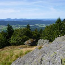
The Schwarzeck is mostly crossed on the E6 long-distance path from the Kleiner Arber to the Kaitersberg; other routes start at Arnbruck, Schareben or Lohberg. The southern ridge via the Hüttensteig is pathless and requires sturdy footwear and some easy scrambling. The rocky summit ridge opens views over the Lamer Winkel since Cyclone Kyrill felled many trees in 2007.
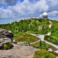
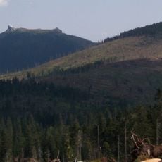
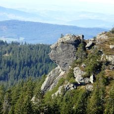
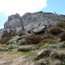
The summit has two rock outcrops; from them the view opens into the Lamer Winkel, to the Osser, into the Zellertal and to the Kaitersberg. Since Cyclone Kyrill felled many trees on the mountain in 2007, the whole Lamer Winkel can be seen from the rocky summit ridge.
The community of curious travelers
AroundUs brings together thousands of curated places, local tips, and hidden gems, enriched daily by 94,071 contributors worldwide.