
Grafenwiesen, municipality of Germany
Location: Cham
Elevation above the sea: 439 m
Website: http://grafenwiesen.de
GPS coordinates: 49.20174,12.88031
Latest update: March 3, 2025 14:40
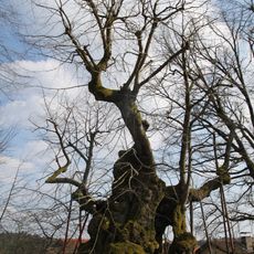
Wolframslinde
4.1 km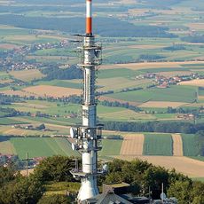
Hoher Bogen transmitter
5.3 km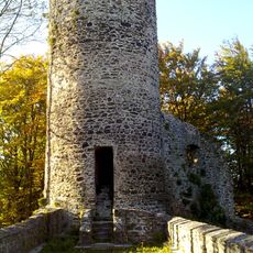
Burg Lichteneck
4 km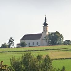
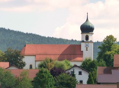
Wallfahrtskirche Mariä Himmelfahrt
4.9 km
Kreuzfelsen
4.2 km
Hohenbogen-Kaserne
3.3 km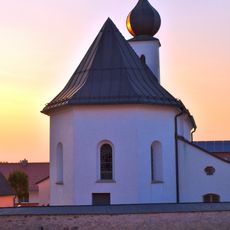
Vierzehn Nothelfer
6.2 km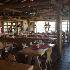
Berghaus Hohenbogen
5.9 km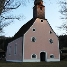
St. Anna
1.8 km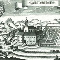
Schloss Grafenwiesen
114 m
Burgstall Hoher Bogen
5.3 km
St. Laurentius
6.4 km
Wallfahrtskirche Sankt Ulrich
5.6 km
Schloss Hohenwarth
3.9 km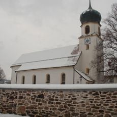
Kuratiekirche Hl. Dreifaltigkeit
167 m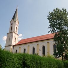
Sankt Johannes Baptist
4 km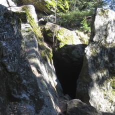
Räuber-Heigl-Höhle von Reitenberg
4.1 km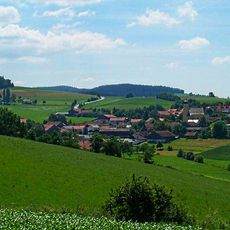
Katholische Expositurkirche St. Ägidius
6.3 km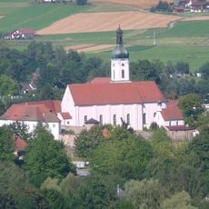
Sogenannte Kirchenburg, ehemaliges Pflegschloss, jetzt Pfarrhof
3.5 km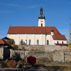
Kirchenburg
3.5 km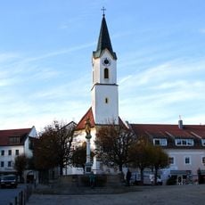
Katholische Kirche St. Veit, sogenannte Marktkirche
3.3 km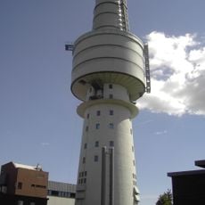
Fernmeldeturm Hoher Bogen
5.3 km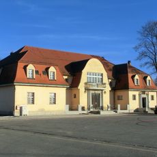
Turnhalle
3 km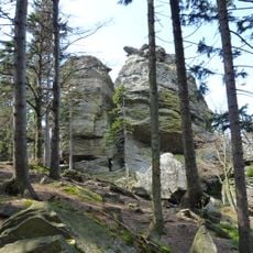
Kaitersberg-Felshänge
6.3 km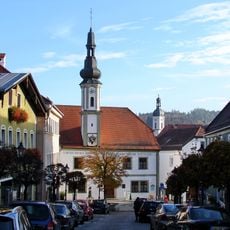
Altes Rathaus
3.4 km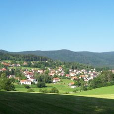
Hoher Bogen
4.6 km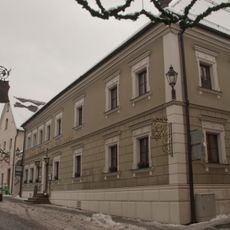
Gasthof Zur Post
3.5 km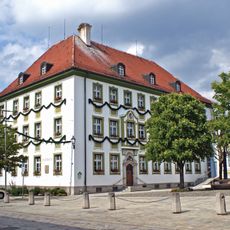
Rathaus
3.4 kmVisited this place? Tap the stars to rate it and share your experience / photos with the community! Try now! You can cancel it anytime.
Discover hidden gems everywhere you go!
From secret cafés to breathtaking viewpoints, skip the crowded tourist spots and find places that match your style. Our app makes it easy with voice search, smart filtering, route optimization, and insider tips from travelers worldwide. Download now for the complete mobile experience.

A unique approach to discovering new places❞
— Le Figaro
All the places worth exploring❞
— France Info
A tailor-made excursion in just a few clicks❞
— 20 Minutes